
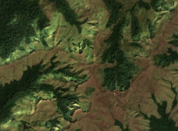
The Signal on the ridge
Guinea’s management plan calls the high point Signal Sempéré. Its boundary description follows nearby ridges and streams, skirting the western side of the Signal near the Mare d’hivernage, a shallow upland basin. The 2006 field survey records study plots at 1,682 and 1,673 m.
A concentration of Nimba toads
The May 2006 survey found 77 Nimba toads (Nimbaphrynoides occidentalis) across six plots at Sempéré. The researchers suggested that animals on Sempéré and neighbouring Grands Rochers might still form a connected population. That remained a hypothesis.
Habitat across a concession boundary
A UNESCO–IUCN monitoring report placed Mont Sempéré within a proposed iron ore concession. It cited the project’s baseline survey, which put around half the counted toads from three known local sites at Sempéré. Reading the two maps together shows how a concession boundary can cut across the habitat of a single species.