
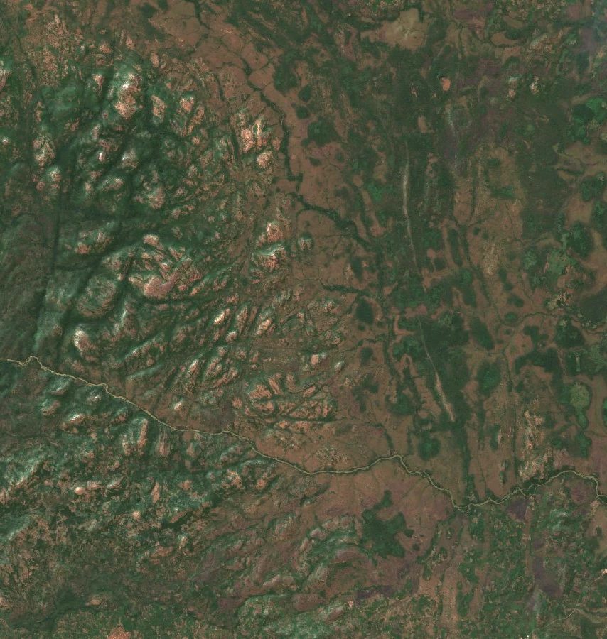
Relief and landscape of the massif
The Office ivoirien des parcs et réserves gives the summit the names Sangbé and Sangrou, and records an elevation of 1,072 metres. Within the park, the dense forests of the south give way to more open formations in the north, according to the flora study published in 2021.
The Bafing meets the Sassandra at the south-eastern tip of the park. These watercourses also serve as reference points in the official delineation of its boundaries.
History of the territory's protection
The territory was first established as a state forest in 1945. The OIPR records that Mont Sangbé National Park was created on 19 February 1976. These two successive designations mark the main milestones in the public protection of this massif in western Côte d'Ivoire.
The decree of 9 May 2018 redefined the perimeter on the basis of a GPS survey. The area given in the Official Gazette is approximately 97,554 hectares.
Inventory of woody flora
In 2021, Tra Bi Tra Jeannot and colleagues published an inventory based on 14 one-hectare plots. They recorded 187 species of woody plants.
The reference riparian forest plot contained 56 species and the riparian plot affected by agriculture, 48. The table thus places two parcels of the same habitat type side by side.