
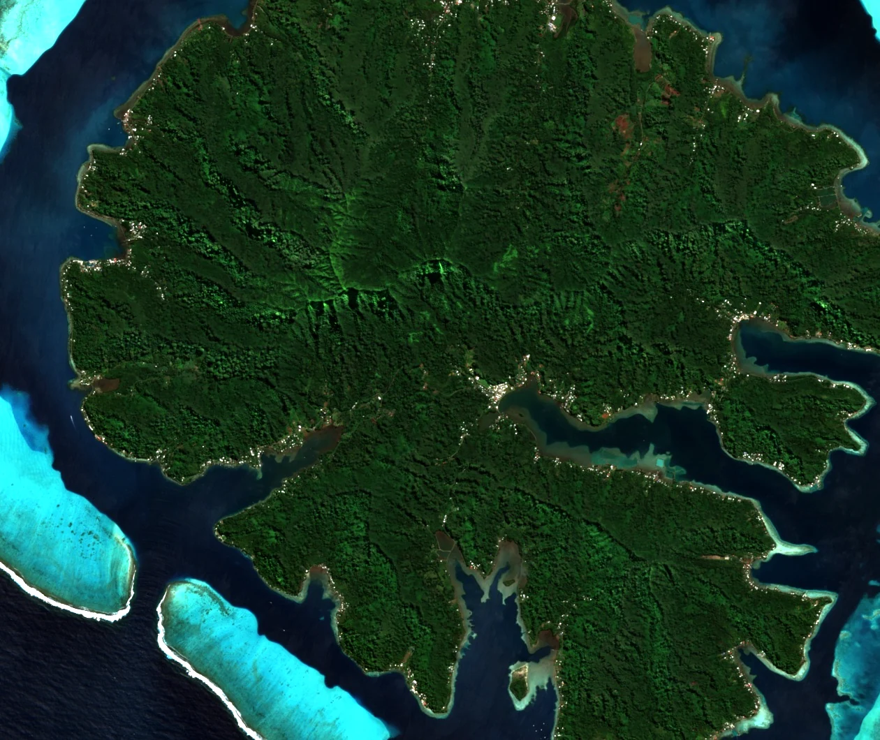
Ridge, Pass, and the Bays Below
The cross-island road running between Haʻamene and Ruutia crosses the ridge at the Vaiautea pass, where a belvedere gives open views toward Haʻamene Bay and Hurepiti Bay. According to a 1997 tourist office guide reported by Tahiti Heritage, the ridge line running from Fareura through the Vaiautea pass to Puurauti marked the historic geographic extent of the Haʻamene district.
Volcanic Origins
Tahaʻa's central relief is a remnant of the island's ancestral shield volcano, itself part of the Society Islands hotspot chain. Diraison and colleagues identified two calderas at the island scale and dated a basal flow to approximately 3.25 million years ago. A 2026 study by researchers from Woods Hole Oceanographic Institution and CNRS analysed island-wide samples and distinguished shield lavas aged 3.4 to 2.6 million years from younger post-erosional lavas dated to 1.4–1.1 million years ago; the team also compared thallium isotope signatures across these eruptive phases.
Patio Valley Flora
The Herbier de Polynésie française records specimen FJ617, collected by F. A. Jacq in Patio Valley below Puurauti, as the filmy fern Hymenophyllum polyanthos.