
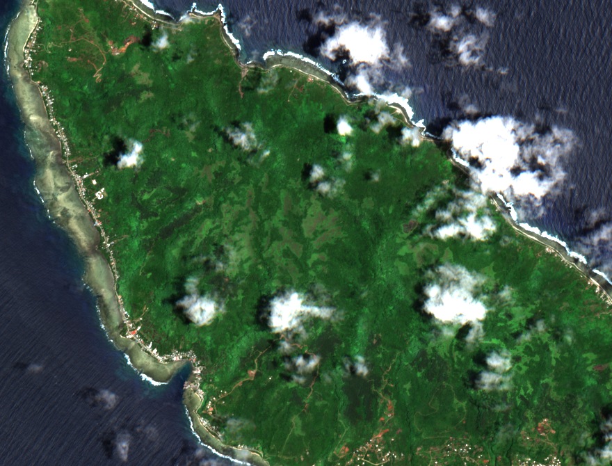
From plateau to coast
Futuna and the neighbouring island of Alofi are the exposed portions of a submarine volcanic ridge oriented northwest to southeast. Mont Puke rises above a gently rolling plateau. Steep slopes separate these heights from the narrow coastal plain.
The earthquake of 13 March 1993
On 13 March 1993, local time, an earthquake triggered landslides and rockfalls on Futuna. An ORSTOM team deployed to the island from 14 to 20 March recorded cracks near the edges of the plateau. The researchers also examined coastal uplift after local residents reported a change in tidal levels.
The summit ferns
On IGN aerial photographs taken in 2004, dense forest covers much of the interior of Futuna, particularly around Mont Puke.
In 2014, botanist Jean-Yves Meyer observed at the summit specimens of Crepidomanes, small erect ferns growing on the ground, and Hymenophyllum, trailing ferns growing on other plants.