
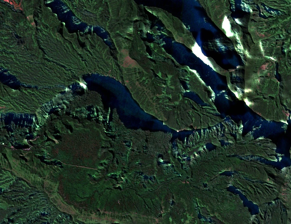
Summit Terrain and Named Valleys
The Environment Directorate's survey maps the Mārāu summit area and its plateau as distinct features. Among the valleys recorded on the regional map are Matatā and Taʻapuna on the west-facing side, and Punaruu — each identified as a separate landform in Polynesian and administrative documentation.
Mārāu and Its Neighbor the Diadème
The Environment Directorate's mapping distinguishes Mārāu at 1,493 m from neighboring Te Tara o Maiʻao (Diadème) at 1,321 m as separate summits within the same massif. The ridge Te-ara-po runs between them, defining the upper spine of the massif above Faʻaʻā.
Te-ara-po, Tataʻa, and Oral Tradition
The Environment Directorate's exhibition on the massif records oral traditions in which the ridge Te-ara-po, between Mārāu and the Diadème, is the path along which departed souls travel toward Tataʻa. The directorate presents these accounts as part of the massif's cultural and place-name heritage.