
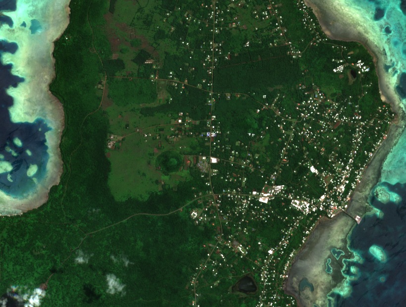
Lava and water
ʻUvea is a low island where ancient basaltic lava flows have left gentle slopes. Rainwater percolates through the porous soils and the island has no permanent watercourses. Several of its old craters contain lakes, including Lalolalo.
Two ferns recorded on the mountain
In his 2023 report, botanist Jean-Yves Meyer records Crepidomanes humile, a small fern observed in the crater's humid forest. The Muséum national d'Histoire naturelle holds a specimen of another species, Crepidomanes saxifragoides, collected in primary forest between 90 and 150 metres on the mountain.
A forest to protect
Meyer lists Mont Lulu Fakahega among the priority botanical sites in Wallis-et-Futuna. His inventory takes into account the diversity of native plants, the presence of rare plants, and the areas where their habitat survives.