
Landscape and Form
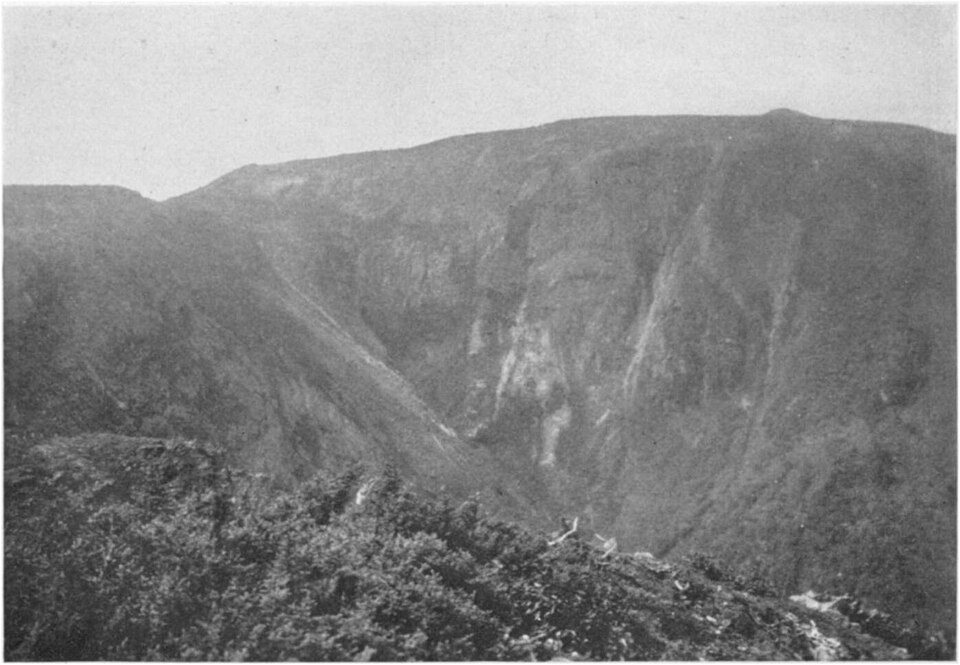
The mountain's north face rises as steeper rock, and the southern flank descends more gently, with source streams near the summit feeding the Cap-Chat watershed. An archival photograph taken from the neighbouring summit of Mount Pembroke records the mountain's profile as seen from that vantage point in the 1920s.
The 1844 Survey and the Name
In 1844 geologists William Edmond Logan and Alexander Murray reached the mountain by the Cap-Chat River during a search for coal deposits. No coal was found, but the expedition produced topographical and geological documentation of the area. The mountain's name commemorates Logan. It appeared on Taché's map in 1870, was listed by the Canadian geography commission in 1898, and received a distinct Quebec place-name decision in 1968.
Flora and the 1995 Habitat Designation
J. Franklin Collins and Merritt Lyndon Fernald worked in the area in 1923. A provincial floristic habitat of 163.80 hectares established in 1995 covers part of Logan's ridge, Pease basin, and slopes of Mount Griscom, protecting Griscom's arnica, false cymbalaria ragwort, and alpine lady fern.