
Form and Position in the Northern Aïr
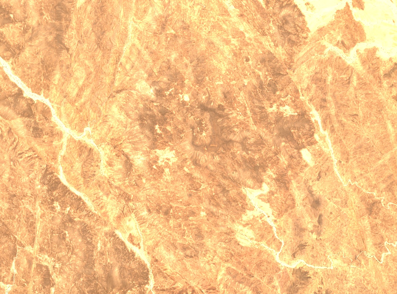
Mont Gréboun occupies the northern reaches of the Aïr massif, its summit documented at 1,944 metres by IRD cartographic sources. The mountain forms part of a rugged crystalline landscape characteristic of the central Saharan uplands, where exposed rocky terrain rises sharply above surrounding plains and gravel regs.
Scientific Expeditions and Summit Records
Conrad Kilian reached the mountain in June 1943, recording observations on vegetation zonation that entered the IRD botanical archive. In December 1960, the Berliet Mission photographed the summit, with explorer Roger Frison-Roche and geographer Henri Montargand among those present, contributing imagery and field data to French scientific documentation of the northern Aïr.
Plant Zonation and the Aïr Botanical Survey
IRD field missions conducted between 1950 and 1955 catalogued approximately 412 plant species across the Aïr as a whole, a flora predominantly Sahelian in character. At higher rocky elevations such as those found on Gréboun, IRD research documents a distinct mountain plant zonation, where altitude and substrate support assemblages that differ markedly from the lowland communities recorded across the wider massif.