
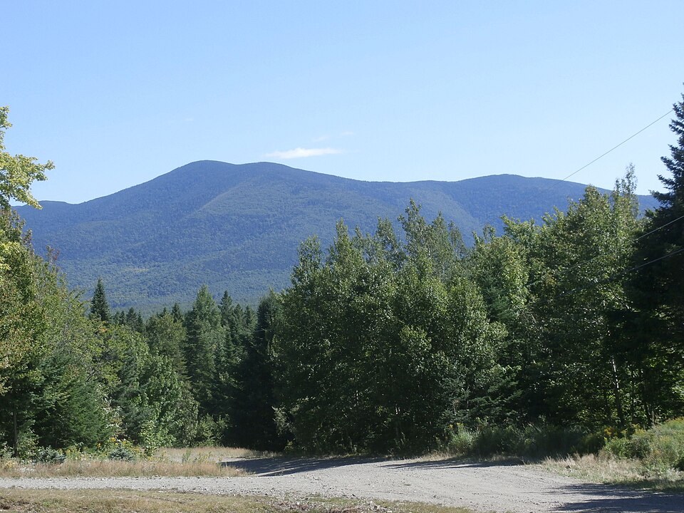
Name and Historical Record
The Québec toponymy commission records the name Mont Gosford in use from the early twentieth century, with official adoption confirmed in 1968. The name commemorates Archibald Acheson, second Earl of Gosford, who served as governor-in-chief of British North America during the political crisis of the 1830s in Lower Canada — a period of deep constitutional conflict between the colonial administration and the Patriote movement.
Landform and Forest Character
The upper slopes of Mont Gosford are shaped by persistent winds, heavy snowfall, and thin soils. These conditions produce a stunted balsam-fir forest accompanied by mountain woodsorrel — a combination that a Québec natural resources field study identifies as unusual this far south within the province, placing the summit at the edge of a vegetative zone more typical of higher-latitude or higher-elevation terrain.
Ecological Reserve
Much of the summit area, together with the northern and western slopes, falls within the Mont-Gosford ecological reserve, a protected designation administered under Québec provincial authority. The reserve boundary and the rare forest designation — which applies to the balsam-fir and mountain woodsorrel community identified in the field study — are distinct instruments; the rare forest finding relates to the vegetative assemblage, while the reserve defines the legally protected land area.