
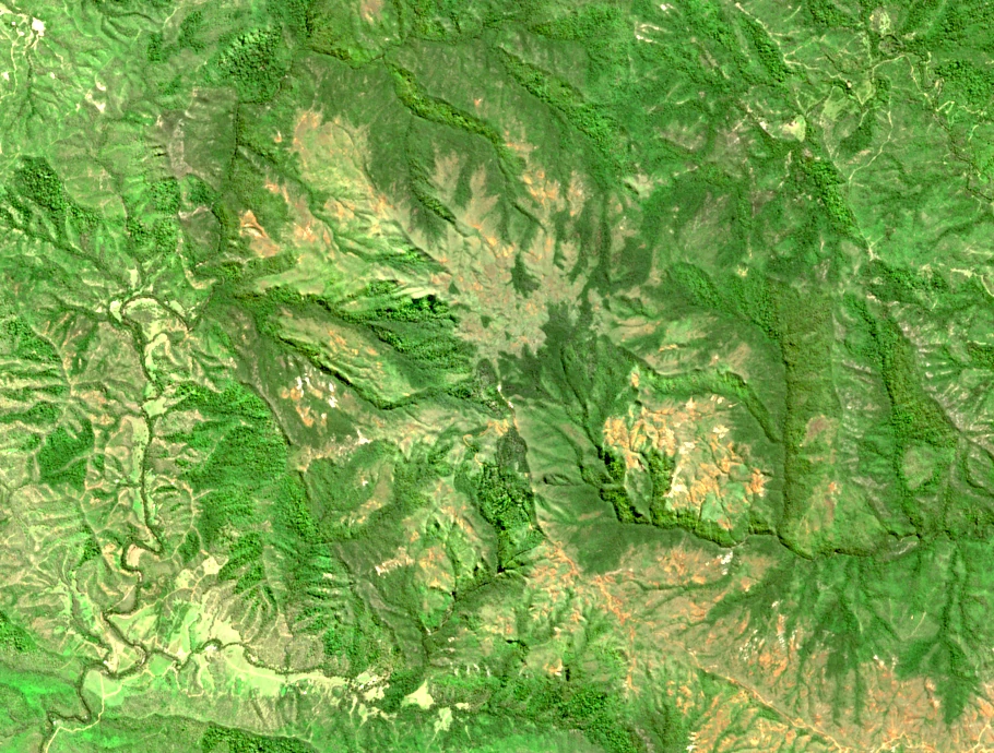
Peridotite Ridge
A 2017 Province Sud environmental field report maps Mont Do as a remnant of the peridotite sheet, the ultramafic rock forming this section of the Central Range. The main ridge runs roughly 10 km on a northwest-to-southeast line, its surface long and dissected across the full extent of the massif.
Ultramafic Vegetation and the Nature Reserve
Fieldwork published by Rigg et al. in 2001 compared forest and maquis communities across Mont Do's ultramafic terrain, recording Araucaria laubenfelsii in the uplands as one of the characteristic species present on this substrate. Province Sud's environmental code designates the area as the Réserve naturelle du Mont Do under article 213-18, a code amended in 2023; earlier studies already referred to the site as a botanical reserve, reflecting its recognized ecological value before formal codification.
Kanak Oral Record
The IRD ethnological volume En pays Mea records fieldwork in which some interlocutors traced local lineages to the mountain they identified as Utèitèè (page 255). That name and account appear in the original as recorded testimony of specific individuals.
Mont Do Refuge and the Nassirah–Ouipoin Trail
Official tourism documentation places the Mont Do refuge on an open 805 m shoulder along the Nassirah–Ouipoin trail, which links the tribal community of Nassirah with the inland valley community of Ouipoin. At that elevation the shoulder opens toward the west coast, sitting well below the 1,025 m summit.