
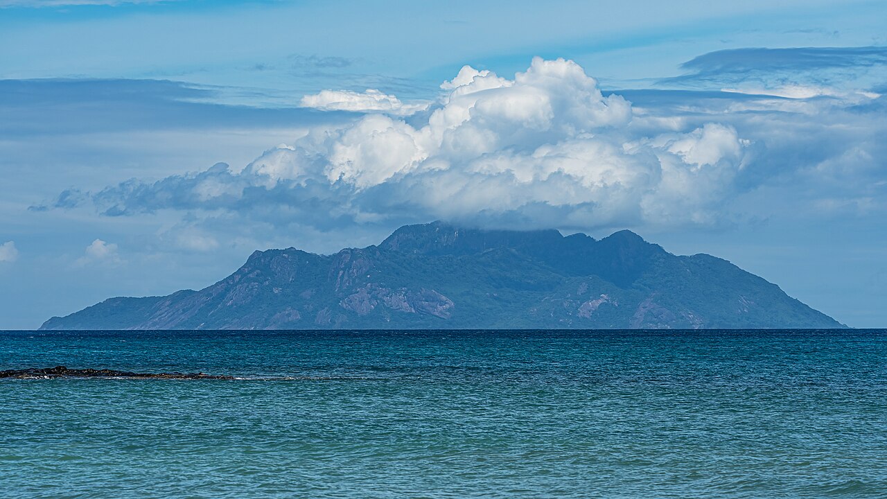
Granitic Island Setting and Elevation
Silhouette belongs to the inner granitic group of the Seychelles, a geological province of Precambrian continental rock distinct from the outer coralline islands. The Islands Development Company records Mont Dauban's summit at 740 m, a figure consistent with the detailed UNESCO World Heritage Tentative List dossier entry for the island. The wooded interior rises sharply from a narrow coastal fringe, giving the peak prominence relative to Silhouette's modest land area.
Dauban Plantation and Historic Mule Paths
The UNESCO dossier records a plantation house built on Silhouette around 1861, associated with the Dauban family who established a coconut and agricultural enterprise on the island. Goods and produce moved along mule paths connecting the upland plantation to the landing point at La Passe on the northwest coast. These paths remain part of the documented cultural landscape linking lowland settlement to the forested interior that now falls within protected status.
Marine and Terrestrial Protection
Silhouette's surrounding waters received marine protection in 1987, and the island's terrestrial area was designated a national park in 2010 under the Seychelles Ministry of Environment. The Tentative List dossier submitted to UNESCO describes the island's biodiversity and plantation heritage as grounds for potential World Heritage recognition. The Ministry documents endemic species concentrated on the mountainsides of Silhouette and Mahé above 200 m, reflecting the conservation significance of the island's forested slopes.