
Position in the National Elevation Record
In the 2021 edition of the CIA World Factbook, Mont Berongou was listed as the highest point in the Republic of the Congo at 903 metres. The same CIA physiography sheet published that year plotted two named summits: the 903-metre Berongou at the northwestern end of Niari Department, and the 1,020-metre Mont Nabeba, located far to the north in a separate part of the country.
The 2025 edition of the CIA World Factbook lists Mont Nabeba as the national high point.
Chaillu Massif Geology and Forest Cover
The Chaillu Massif is an Archean basement massif composed principally of granite and gneiss, as described in the Republic of the Congo's national ecotourism strategy. This characterisation applies to the massif at a regional scale.
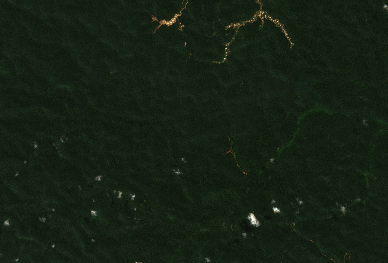
A Sentinel-2 natural-colour image acquired on 23 June 2026 is centred on the identified ridge near Mont Berongou. Dense forest canopy covers the rounded hills across the scene, concealing much of the ridge shape. Small clearings are visible to the north and toward the lower portion of the image, providing a visual contrast with the surrounding forest.
Berongou-Nyanga Alluvial Gold Concession
Official order 10535, dated 26 August 2022 and published in the Republic of the Congo Official Gazette on 8 September 2022, renewed an authorisation for the alluvial gold concession named Berongou-Nyanga I on the Niari side of the Gabon frontier. The original authorisation had been granted on 25 April 2016, and the concession covers 125 square kilometres. The limits described in the order include the ridge area of Mont Berongou.
The 2022 order required the submission of an environmental and social impact study before production could resume, and required agreement with affected communities on local sustainable development before any production began. The order documents the regulatory framework in force at that date.