
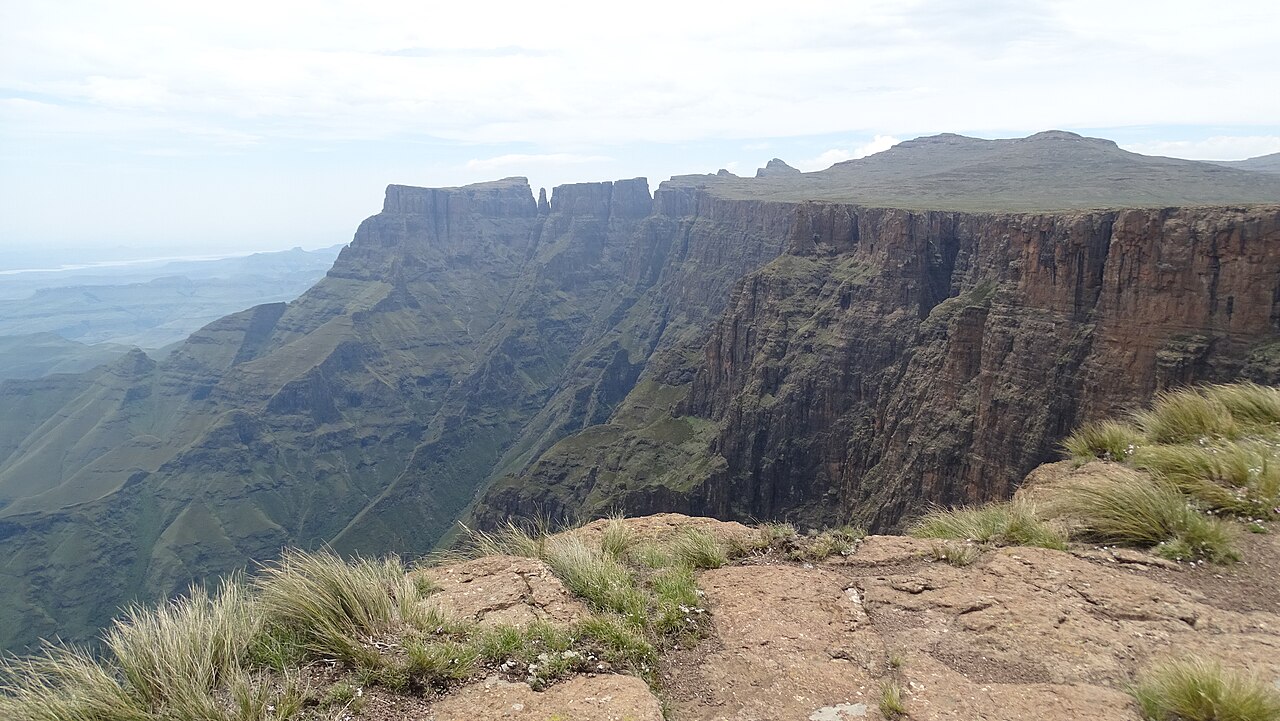
Tugela Headwaters and the Amphitheatre Escarpment
The South African Department of Forestry, Fisheries and Environment identifies the Tugela River's source on the Mont-aux-Sources plateau. The river's descent from the escarpment occurs at the Amphitheatre, a curved basalt wall a few kilometres from the high point, where five successive cascades carry the water down into Royal Natal National Park below.
Arbousset and Daumas: Mapping Basotho River Geography
In 1836 the French missionaries Thomas Arbousset and François Daumas conducted an extensive journey through Basotho territory and produced a landmark geographical account of the region's rivers and settlements. Their record, examined in Southern African Humanities, documents river sources and Basotho place knowledge across the northern highlands, though direct evidence that the pair reached this specific plateau high point remains disputed among historians.
The Stocker Survey of the Northern Escarpment
In 1887 the Stocker brothers undertook a climbing and mapping traverse recording landmarks along a defined stretch of the Drakensberg escarpment between Mont-aux-Sources and Giant's Castle. Their survey established documented reference points for the northern peaks and contributed to the cartographic record of the range during the late nineteenth century.