
Summit elevation and recent observations
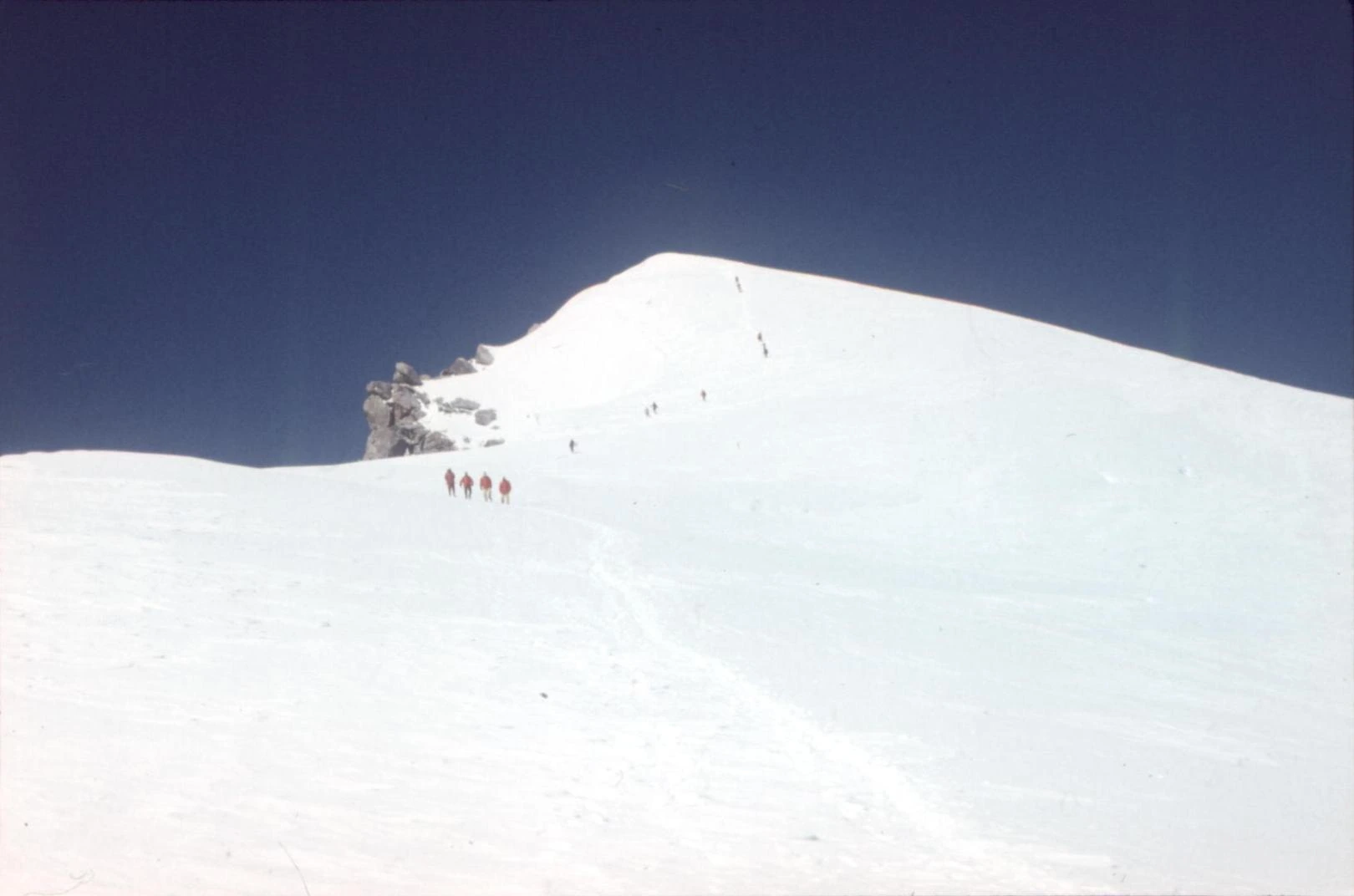
A field survey by Mongolia's national geodesy agency in September 2025 measured the summit at 4,196 m using GNSS equipment, superseding the 4,204 m figure the government had published under a 1980 resolution. A photograph from 1978 shows climbers moving across a snowy summit area.
Climber Petter Bjørstad visited in August 2024 and noted a rocky point standing roughly 3 m above the highest snow point near the top. His GPS position supplied the approximate summit coordinates used in mapping. The agency's report also notes that some mountaineers have referred to the peak as Sükhbaatar Peak, a name it treats as a documented confusion.
Glacial landscape and watershed protection
Parliamentary Resolution 26 of 2006 placed the mountain under formal protection, designating high-elevation permafrost, snow cover, glaciers, and the headwaters of rivers originating on the massif as the objects of conservation. These snow and ice reserves feed rivers running down towards drier terrain. Boulder-rich glacial moraines on the eastern flank, recorded near 2,730 m, mark positions where earlier glaciers once stood, well below the present summit snowfields.
Comparative photographs of an unnamed glacial lake on the north slope, at 3,190 m, taken in 2009 and again in 2021, show the glacier had pulled back from a pass it once overtopped, leaving that pass ice-free and the lake at a lower water level by the later date.
Bronze Age traces in Mönkhkhairkhan district
A 2025 study in Studia Archaeologica examined a 2003 excavation at Ulaan Goviin Uzuur, a site located in Mönkhkhairkhan district at some distance from the summit itself. Researchers recovered a bone spoon and a bronze knife from a Bronze Age burial. The study explains how these excavations gave the Mönkhkhairkhan archaeological culture its name, taken from the snowy mountain.