
Across the icefield
Henry S. Hall Jr. and Hans Fuhrer made the first documented ascent in 1936. Hall had been to the mountain before. In his account of a 1934 attempt with Ernest Feuz, they walked up the glacier and tried to climb from the northwest, where they stopped at about 9,500 feet.
In July 1953, John Dudra, Fips Broda, Jack Atkinson and Howard Rode flew to Ape Lake and crossed the icefield on skis. Dudra and Broda climbed the west face for the mountain’s second recorded ascent. The party climbed other peaks nearby, and Dudra’s map recorded names that later appeared on official topographic sheets.
The mountain on the map
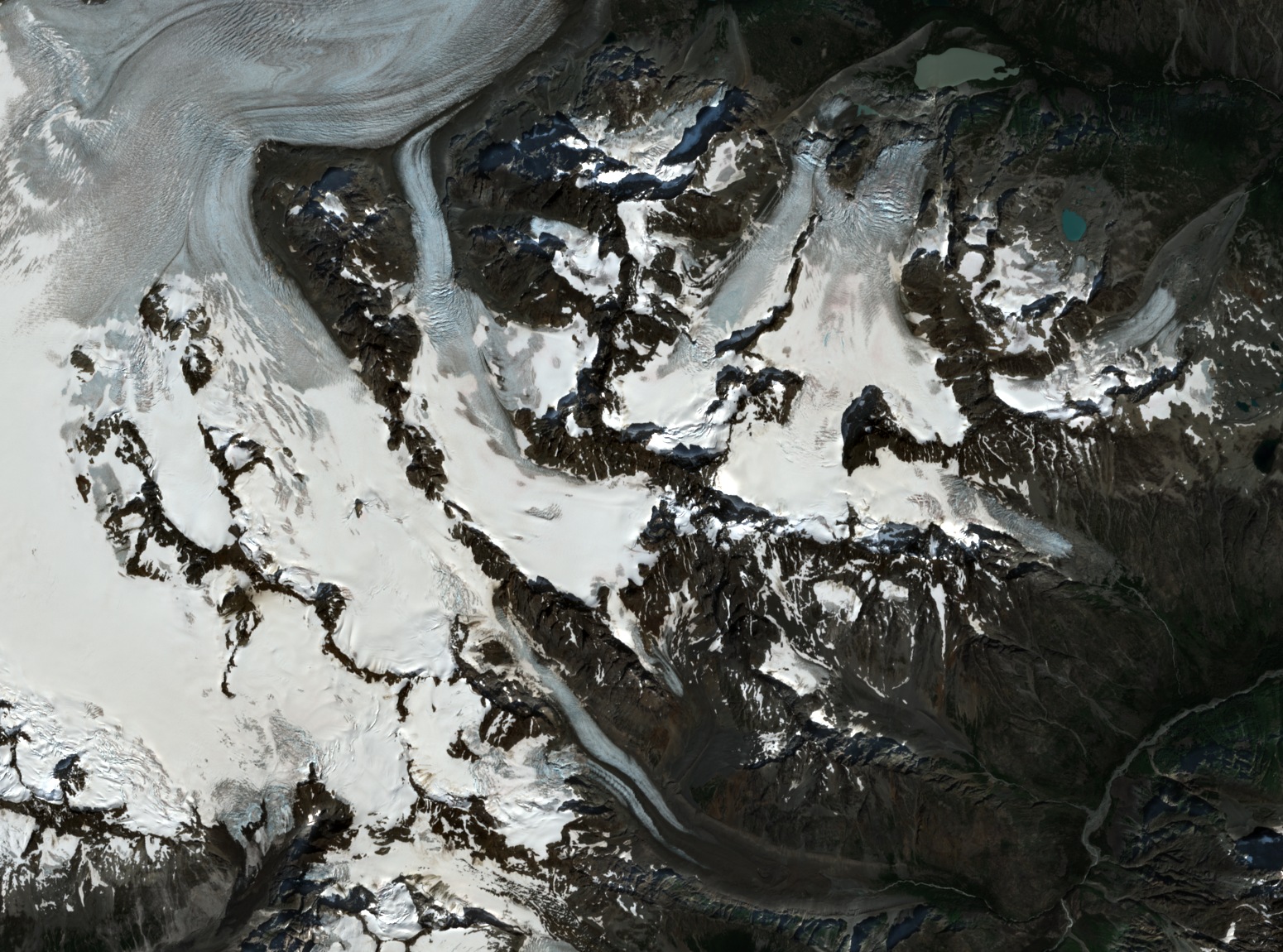
British Columbia adopted the name Monarch Mountain in 1950. The icefield to its west and northwest received its official name in 1967. The July 2025 satellite image shows where the ice gives way to exposed rock and steep flanks near the eastern edge of the field.
From an aerial photograph to the southwest face
In April 2007 the aerial photographer John Scurlock circled Monarch Mountain in a small aircraft and photographed the central spur of its southwest face. Simon Richardson saw the photograph and returned to the mountain in 2017 with Micha Rinn. They climbed the 1953 west-face route first to study the terrain before attempting the spur.
They climbed the 1,250-metre southwest line from 4 to 6 August 2017, spending two nights on the face. Richardson’s account describes compact rock formed from volcanic material altered by heat and pressure. The scant cracks made it difficult to secure protection on the steep upper section. The two climbers reached the summit early on 6 August and descended the west face they had climbed five days earlier.