
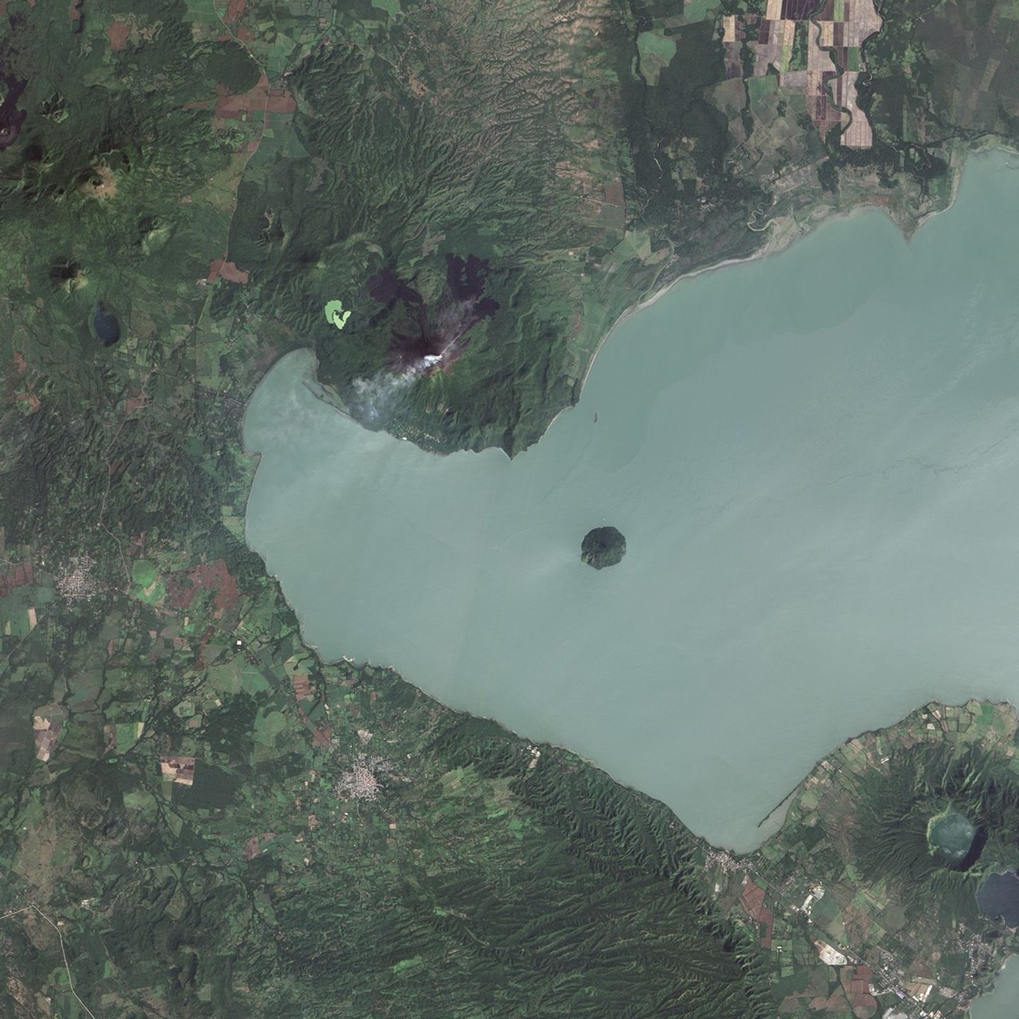
Morphology and recorded activity
The Smithsonian Institution places the summit at 1,270 m above sea level and documents that the present cone is a young structure superimposed on a predecessor edifice. Among the catalogued eruptive episodes is a lava flow that descended the northeastern flank in 1905. Between December 2015 and April 2016 the volcano experienced a new sequence of activity that included explosions, ash emissions, and lava flows, according to the Smithsonian's 2017 report.
On the volcano's southern flank lies a geothermal field whose presence reflects the subsurface heat of the active magmatic system.
León Viejo and the colonial era
In 1610 León was relocated. INETER links that move to volcanic activity and seismic events of the period. UNESCO, in its World Heritage designation for the ruins of León Viejo, explains the abandonment of the original settlement in response to seismic hazards. Neither source claims that a lava flow buried the city.
The ruins of León Viejo, preserved at the foot of the volcano, form part of the UNESCO World Heritage List. The documentation of volcanic activity across the centuries provides geological context for understanding the siting and abandonment of the colonial settlement.
The insular cone and the lacustrine setting
Momotombito is a cone that rises as an island in Lake Managua and constitutes a morphologically separate edifice from the main volcano. Its position in Lake Xolotlán illustrates how the volcanism of the Marrabios extends into the lake itself. Together with Momotombo, it marks the eastern limit of Nicaragua's volcanic chain above the lake.