
An old seabed lifted into a ridge
About 550 million years ago, as Gondwana took shape, heat and pressure folded and transformed sediment that had accumulated in the sea. This episode, the Damara Orogeny, left a belt of metamorphic rocks that includes the Auas Mountains. Mica schist is common around Windhoek, where the rock often splits along the thin layers created by that pressure.
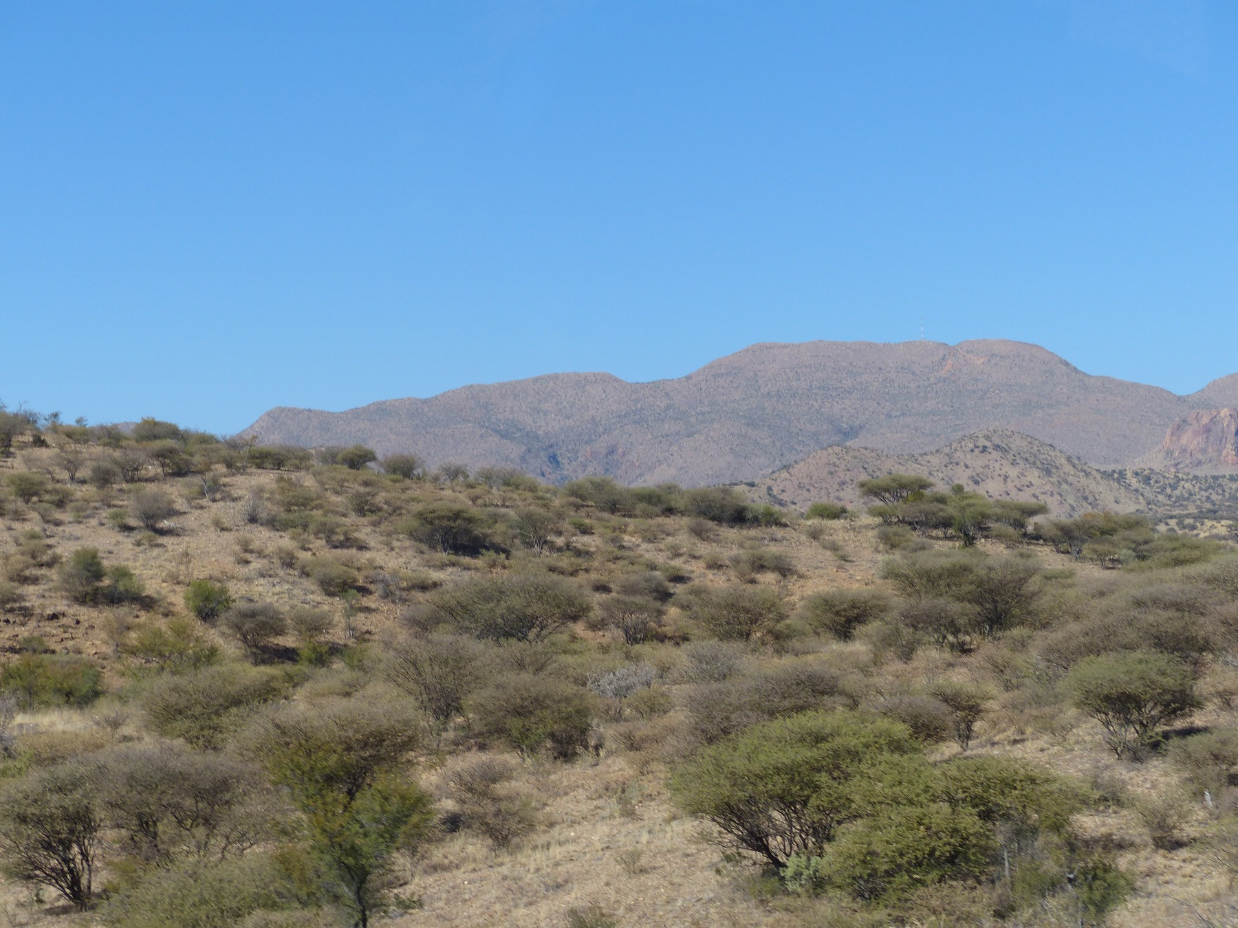
In KleinPotto’s photograph, the line of Moltkeblick’s ridge rises beyond low, scrub-covered hills. The Atlas of Namibia gives its summit as 2,479 metres, the highest point in the Auas Mountains.
A summit used for triangulation
Lieutenant Wettstein used Moltkeblick as one of the observation points in the 1896–1898 triangulation around Windhoek. Surveyors could work out the position of a distant point by measuring angles to it from other known positions. The results published in 1908 show that the next survey used the same summit, drawing on stations identified during both Wettstein’s survey and Schiller’s 1903 reconnaissance.
In November 1937, Surveyor-General A. C. Parry reported Moltkeblick as the highest station in his network, at 2,483 metres. The measurements in that report used mean sea level observed at Swakopmund. The Atlas of Namibia lists 2,479 metres today.
A climb recorded in 1918
The National Archives of Namibia list a 1918 ascent in H.J.C. Paulsmeier’s diary, collection A.0061. The catalogue places the account alongside an entry on his journey to Swakopmund that year and later descriptions of farming. It preserves a record of a climb in between the formal surveys of the mountain.