
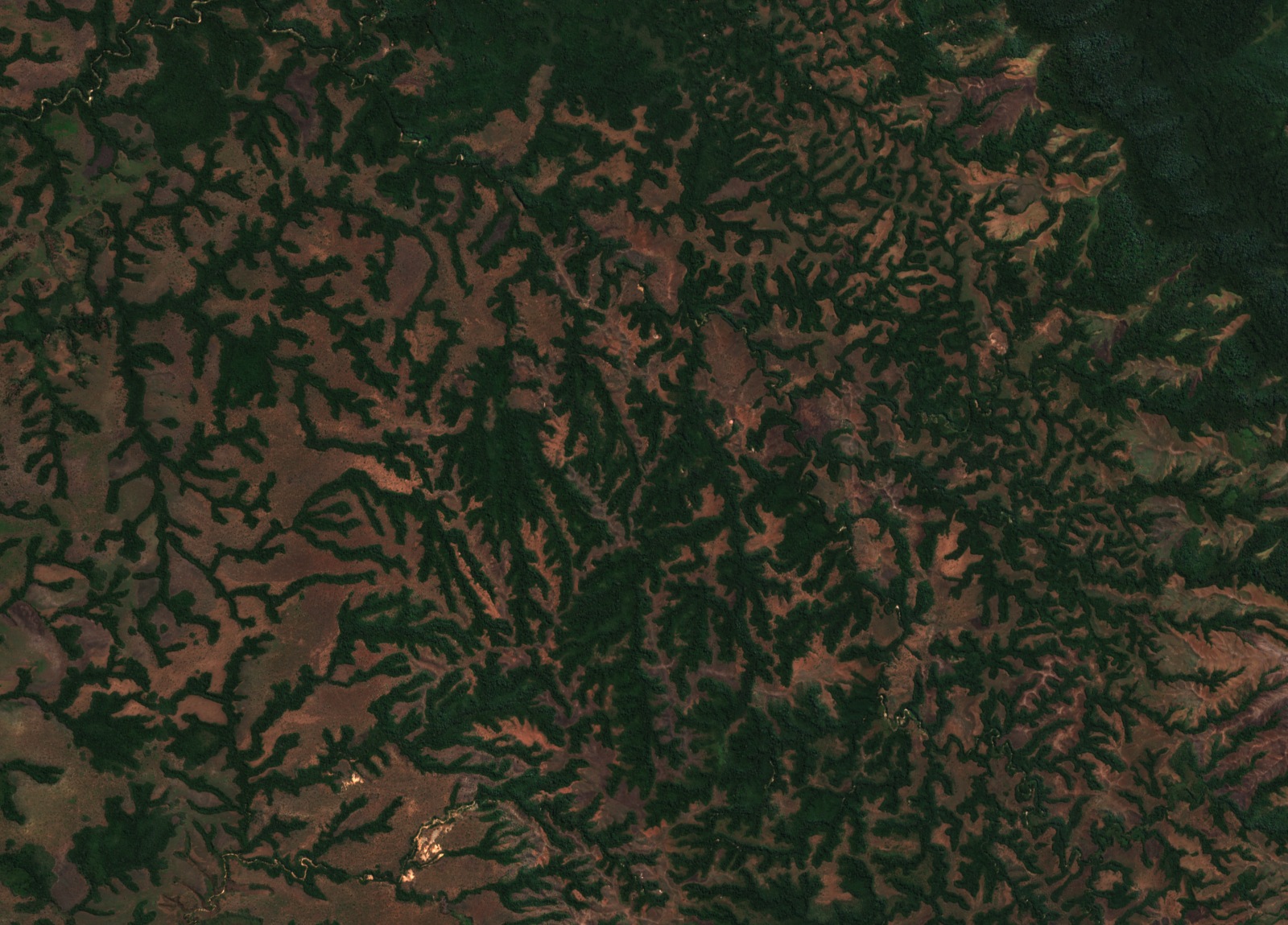
Rift Shoulder and River Morphology at Uvira
Below the Mitumba–Itombwe plateau, the mountain front descending toward Uvira forms a rift shoulder where rivers drop from uplands reaching around 3,000 m to the shore of Lake Tanganyika, depositing narrow alluvial fans in the northwestern part of the lake's catchment. A 2010 study by Moeyersons and colleagues compared aerial imagery from 1959, 2000, and 2004, documenting channel incision, slope failures, and fault structures along this escarpment face.
The paper documented strong river incision across multiple channel sections and recorded multiple landslides, many of them located along those same incising reaches. Field work identified outcrops interpreted as eroded formerly active faults brought to the surface through long-term uplift and erosion, and the paper mapped traces of active north–south and east–west faults in the study area.
Elevation Zones and Forest Fauna at Kahuzi-Biéga and Kabobo
Within the Mitumba portion of Kahuzi-Biéga National Park, UNEP World Conservation Monitoring Centre data describes mountain rainforest, bamboo forest, and heather as distinct vegetation bands corresponding to elevation. These zones represent the northern expression of the Mitumba chain's upland ecology and are documented as part of the park's World Heritage designation.
The Kabobo highlands hold species of conservation significance documented by the Wildlife Conservation Society and recorded in formal biodiversity assessments. Belgian scientists working in the 1950s brought the Kabobo apalis (Apalis kaboboensis) to scientific attention, and WCS reports this history as part of the highlands' research record. The 2023 Key Biodiversity Areas listing designates Kabobo as a KBA in part on the basis of threatened and range-restricted species including the Kabobo apalis, and notes that the area preserves almost all remaining montane forest in this sector of the rift.
Kabobo Wildlife Reserve and Local Governance Framework
On 21 December 2016, the governor of Tanganyika province issued a provisional order granting Kabobo wildlife reserve status, which entered into effect that same day and was subsequently printed in the Official Gazette of 1 February 2017. The order adopted boundaries drawn through participatory mapping and established a framework for shared management among a local committee, the Congolese Institute for Nature Conservation, and other partners. Article 1 of the provisional order specified that a definitive instrument signed by the prime minister was needed to establish full protected-area status.
The Wildlife Conservation Society confirmed the boundary approval on that date, describing the reserve as designed to conserve the distinctive species assemblage of the Kabobo highlands. The 2016 provisional framework represented the governance structure in place at the time of designation; the reserve's boundaries and institutional arrangements were defined through that participatory process with local communities.