
Three Elevations on One Ridge
The Winfield quadrangle marks a 13,784-foot point farther northwest, a 13,930-foot point on the ridge and the named summit of Missouri Mountain at 14,067 feet. The last figure was the map’s estimate at the time. The present USGS elevation model puts the top of Point 13,930 at about 4,247 metres. The main summit, around 740 metres to the southeast, measures about 4,289 metres (14,071 feet) in a more recent lidar survey.
The Ridge from the Air
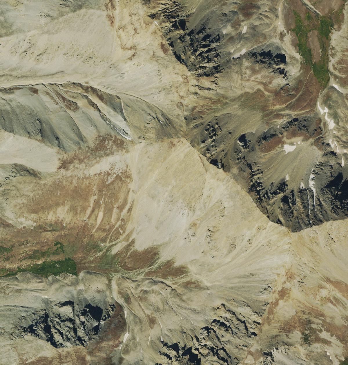
The 22 September 2019 aerial photograph shows Point 13,930 near the centre, on the ridge that runs toward the main summit in the lower right. Its steep northeastern flank drops toward Missouri Gulch, where vegetation reappears below the rocky crest. Bill Middlebrook’s photographs show the trail passing the point on its west side.
Wilderness Protection and Trail Work
On 22 December 1980, the US Congress established Collegiate Peaks Wilderness, which includes this ridge. In 2000 and 2001, the Colorado Fourteeners Initiative carried out construction and restoration on the Missouri Mountain trail. Keeping traffic to the established route through Missouri Gulch and onto the northwest ridge helps protect fragile alpine vegetation.