
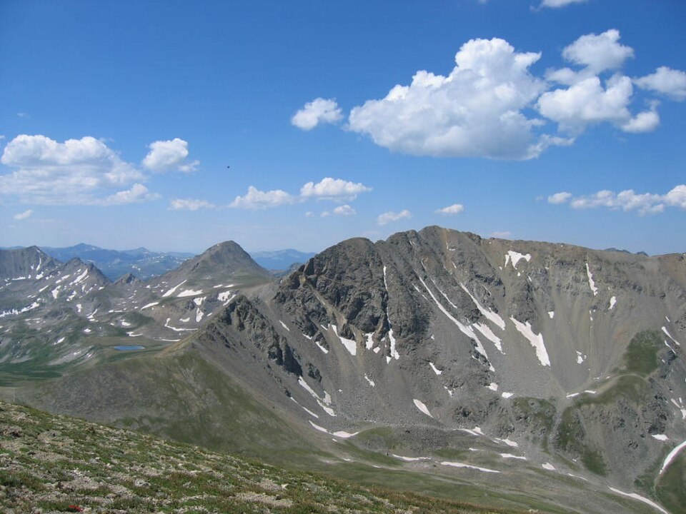
Summit and Surrounding Terrain
The peak crowns the upper end of Missouri Gulch, a drainage that cuts northward into the Sawatch Range. Its north face is notably steep and rocky, a defining visual feature of the mountain's profile from the gulch below. Elkhead Pass lies along the ridge to the east, marking the boundary between Missouri Mountain and the adjacent Mount Belford.
Elkhead Pass and the Belford Ridge
Elkhead Pass functions as a saddle connecting two distinct summits — Missouri Mountain to the west and Mount Belford to the east. The pass sits at the top of the Missouri Gulch drainage and represents a clear geographic division between the two peaks. The ridgeline here is the principal structural feature separating these neighboring Sawatch fourteeners.
Mining History in the Clear Creek Drainage
The Chaffee County drainage near the summit has a documented history of silver mining activity in the late nineteenth century. The National Register of Historic Places records the mining settlements of Winfield and Vicksburg along the nearby Clear Creek drainage — this is the Chaffee County Clear Creek, distinct from the Front Range Clear Creek farther north. Historic buildings from those mining communities lie in the valleys below the high Sawatch crest.