
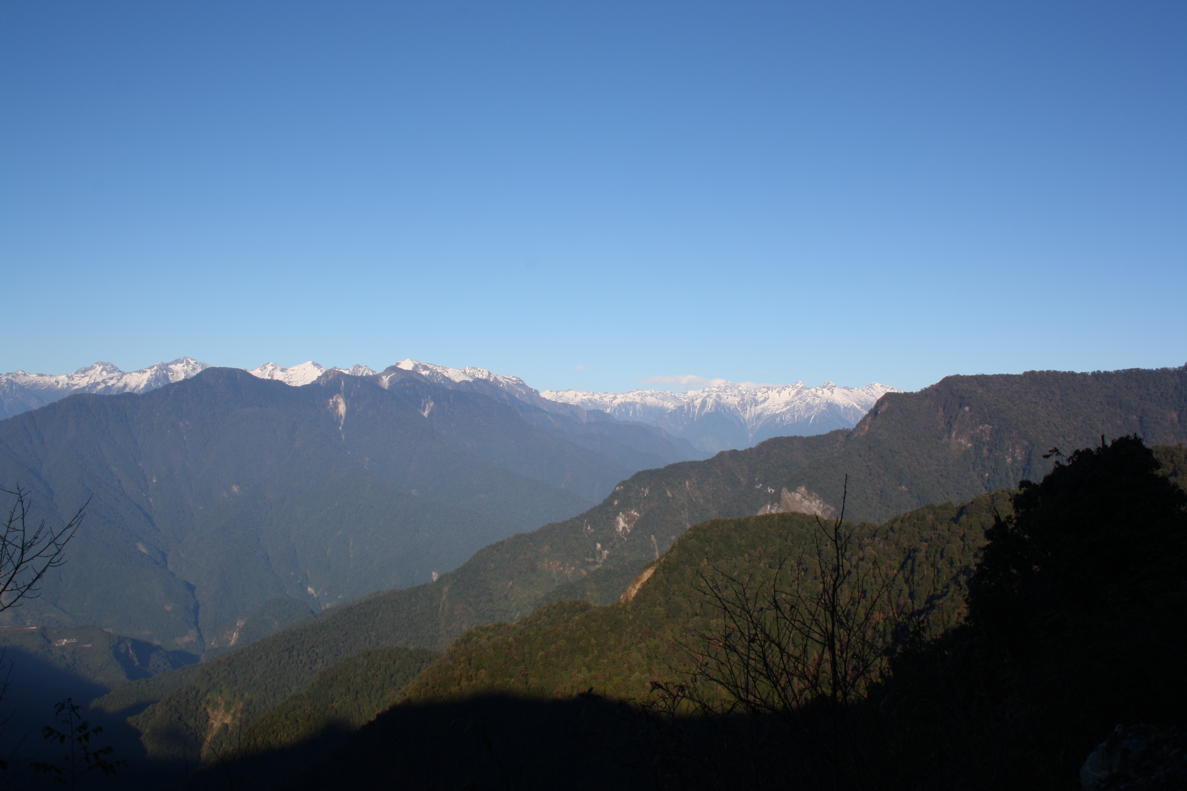
Ridges and named peaks
The Arunachal Pradesh Forest Department names Kahaii Kala as a locally recognized high point within the Dibang Wildlife Sanctuary, noting that the nearby feature known as Kahaiwhite snow lake takes its name from it. A government environmental filing covering sanctuary terrain gives an altitude band of 1,800–5,500 m above sea level for the area mapped in that document.
A Himalayan Journal expedition account describes an expedition’s view of Rupundi, known locally as Chipisi. A 2006 party also recorded Rupundi from its route through the upper Dibang Valley. The two accounts record how the peak appears from their routes.
Rock layers at the Himalayan bend
Field mapping along the Dibang and Lohit valleys documents a series of major thrust faults that have placed contrasting rock units one above another at the eastern Himalayan bend. Near the southern front, low-grade metamorphosed sediments of the Sewak Group overlie Brahmaputra alluvium along the structure known as the Mishmi Thrust, also recorded as the Sewak Thrust. Higher in the thrust stack, more intensely metamorphosed rocks carry their own designation as the Mayodiya Group.
The former Dri glacier
In 2026, Shashank Nitundil and colleagues published 63 exposure-age measurements derived from cosmogenic beryllium-10 collected across the Dri River catchment in the Dibang Valley. Their method uses beryllium-10 produced in near-surface rock to estimate how long individual surfaces have been exposed after the ice withdrew. Their results describe a former Dri glacier reaching approximately 100 km in length at its maximum and descending to roughly 1,300–1,500 m elevation. That advance predates about 44,800 years ago and may be at least 58,500 years old.
By around 12,600 years ago, the same glacier had retreated to an estimated length of approximately 25 km.
Reh and the forests of Dibang
Prayer, chanting and dancing are part of the Idu Mishmi festival of Reh. According to the Dibang Valley district administration, celebrations had previously been observed by individuals and families before a shared public gathering took form in the late 1960s under the leadership of Ita Pulu. A 2020 coauthored study by Sahil Nijhawan and Idu Mishmi collaborator Achili Mihu, published in the Journal of Ethnobiology, describes how restrictions on hunting form part of Idu social and moral relationships with wildlife, including the tiger.
A camera-trap survey conducted in and around Dibang Wildlife Sanctuary between 2015 and 2017, published in the Journal of Threatened Taxa, recorded a male tiger at 3,246 m within the Mishmi Hills and photographed the same individual at 3,630 m on 7 June 2017 in subalpine vegetation.