
Southwest Ridge Routes, 1959 and 1965
Harald Biller's German expedition made the first recorded ascent on 27 July 1959 per the expedition index. On 26 August 1965, Jiro Amari, Hiroyuki Maruko, and Yukitoshi Sato reached the summit via the southwest ridge, ascending a 650-foot (~198 m) ice gully from Camp II to a col before following the final summit rock ridge.
East Ridge, July 1970
On 21 July 1970, Muto and Sawada of a Japanese joint expedition reached the summit by the direct east ridge. This route ran a separate line from the southwest approach used in the two prior ascents, traversing the upper Hindu Kush terrain above the Panjshir drainage on the mountain's eastern aspect.
Ice Features and Remote Sensing
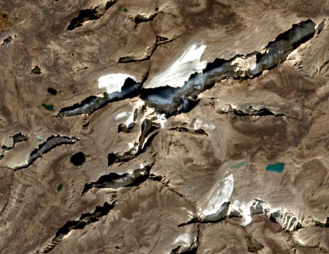
A remote-sensing study compared glacier and ice features around Mir Samir over the period 1961 to 2004. Among individually sampled measurements documented in the research, one east-facing glacial feature retreated 270 m across that observation period, a figure specific to that sampled ice front.