
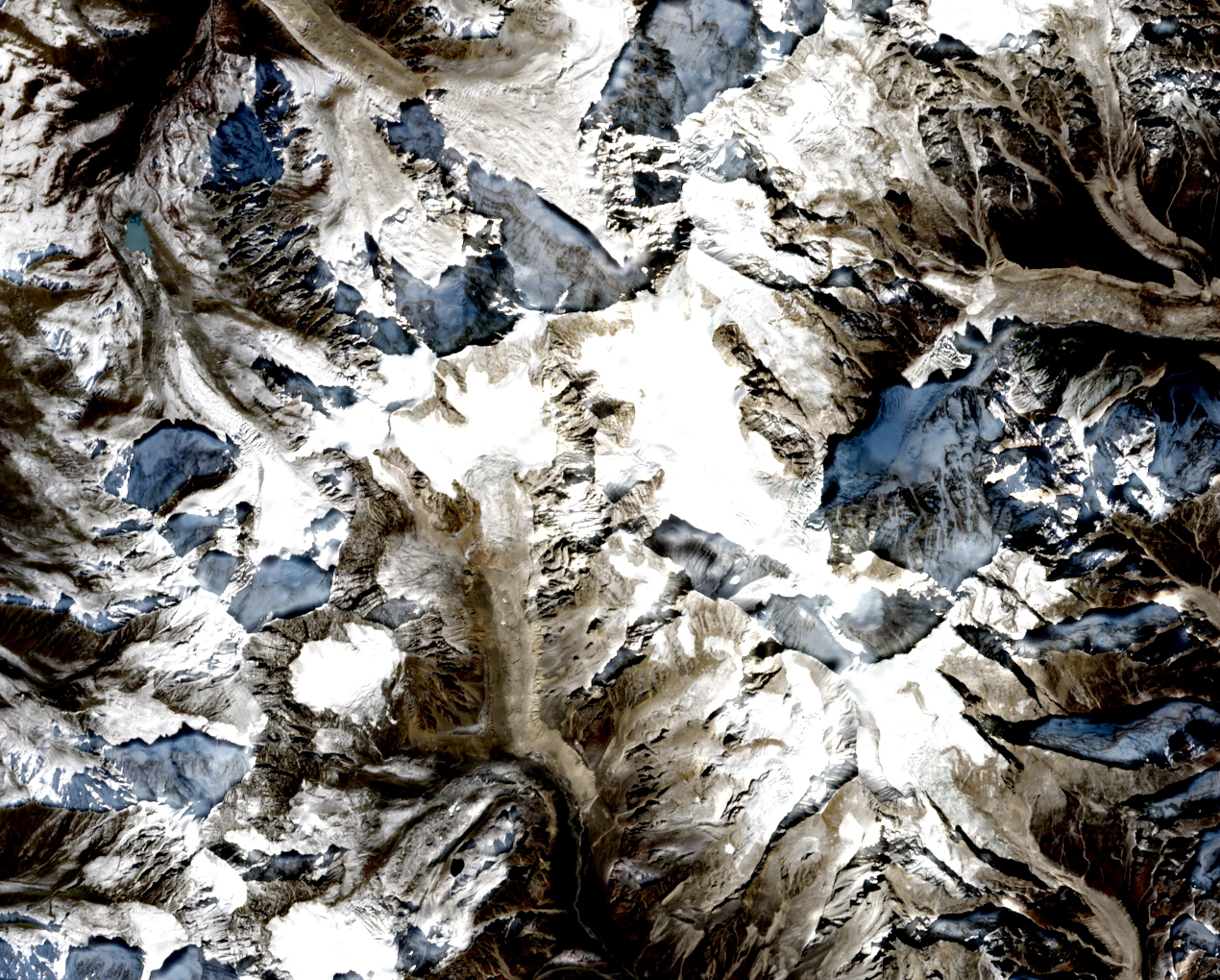
Position on the Massif Crest
Y. Takeuchi and T. Nakamura's published map depicts Point 6,206 on the ridge between Mount Grosvenor, shown at 6,376 m, and Mount Edgar, shown at 6,618 m. A map in the 2010 expedition report archived by the Mount Everest Foundation marks the nearby Points 6,134 and 6,145 as separate features. These sources identify Point 6,206 by its mapped elevation and supply no local or official name for it.
In the 14 November 2026 north-up Sentinel-2 photograph, rocky Point 6,206 sits near the centre of the frame with Mount Grosvenor towards the upper left of centre. Jiazi appears higher in the frame to the right of centre, Mount Edgar occupies the right half, and Point 6,134 lies below and to the right of Point 6,206.
Neighbouring Peaks and Glacial Approaches
Henry Day's 1981 expedition to nearby Jiazi travelled from Lao Yulin by pony, surveyed the western approaches, and crossed the Riuchi and Tshiburongri glaciers and the approximately 5,400 m pass between them. A band of steep rock blocked the team's attempts on Jiazi. Richard Nolting's account records the arrival of Patrik Callis, John Markel and Richard Nolting on the summit of Jiazi on 17 November 1982 from the south ridge, and both accounts are specific to Jiazi.
Alexander Ruchkin and Mikhail Mikhailov completed a documented ascent of neighbouring Point 6,134 in 2009, an achievement that received the Russian Mountaineering Federation's Golden Ice Axe. The Japanese Alpine Club panoramic photograph identifies Point 6,134 as a summit separate from Point 6,206.
Elevation Evidence
The figure 6,206 m is the elevation label on the published mountaineering map. A Copernicus GLO-30 digital surface model sample near the mapped crest gives approximately 6,068 m, which is a terrain-data estimate.