
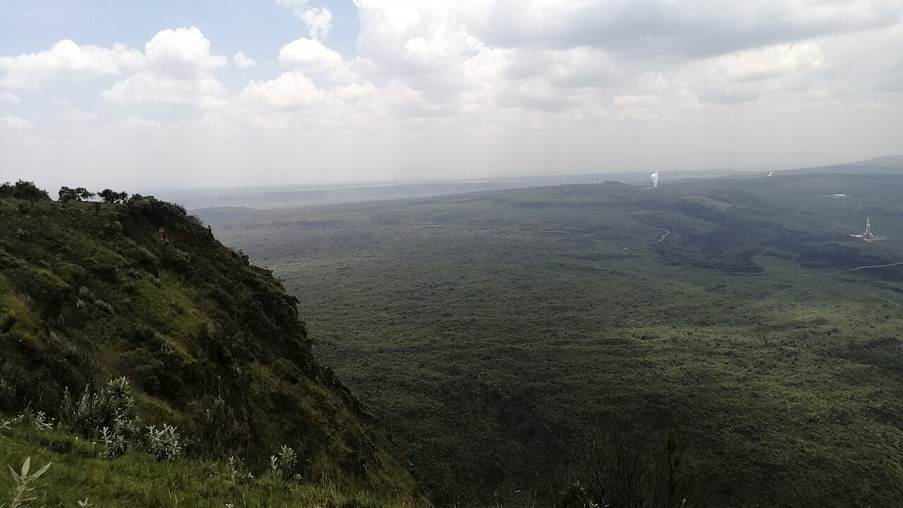
Volcanic Origins
The Smithsonian Global Volcanism Program places the onset of Menengai's shield growth at approximately 200,000 years ago. Major explosive episodes producing ash and pumice occurred at roughly 29,000 and 8,000 years ago. The later event produced the present caldera, which measures 8 by 12 kilometres across.
Caldera Floor and Lava Flows
More than 70 lava flows subsequently partly filled the caldera floor, according to the Smithsonian database. These flows account for the fractured, uneven terrain visible from the rim. Ages of the younger flows remain uncertain, and the Smithsonian's rounded figures do not establish a date for the most recent eruption.
Geothermal Development
The Kenya Geothermal Development Company began drilling at Menengai in 2010. The first well discharge in 2011 confirmed a productive steam reservoir beneath the caldera.
By 2015, the company had launched direct-use pilots drawing on Menengai's geothermal heat for dairy processing, laundry, fish pond, and greenhouse cultivation. The first 35 MW project unit started producing electricity in 2023, marking the transition from pilot applications to grid-scale power generation.