
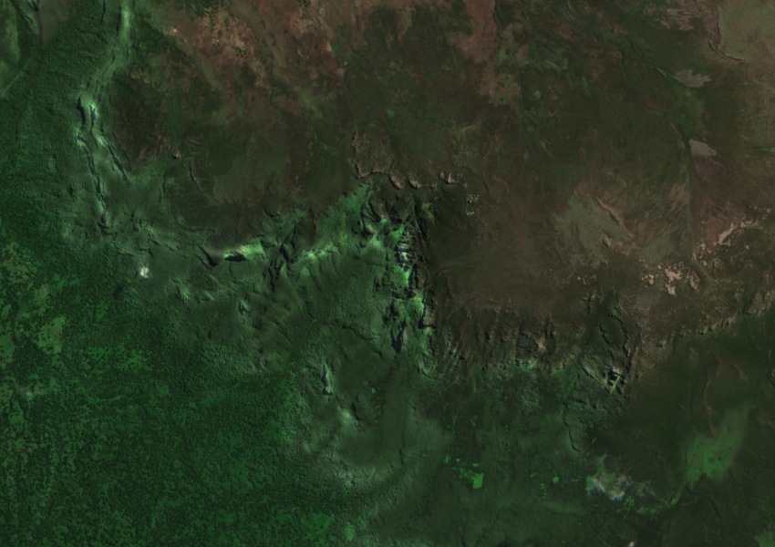
Mountain water and the Shabelle
The Food and Agriculture Organization lists the Mendebo Mountains in its account of the Shabelle, a river that flows east out of the Ethiopian highlands. The map marker shows the historical gazetteer location in the range; the headwaters described by the FAO cover a wider area.
Montane forest east of the Rift
A historical forestry report held by the World Bank identified the Mendebo Mountains as an important area of montane forest east of the Rift Valley. The report maps forest at a regional scale, including slopes and valleys beyond the gazetteer point.
Leslie Brown’s 1963 fieldwork
A fieldwork report preserved by the African Union archives records Leslie Brown’s 1963 expedition, which found mountain nyala still common in parts of the range at the time. The bibliography submitted with Ethiopia’s nomination of Bale Mountains National Park also records Brown’s Mendebo study of the mountain nyala and Ethiopian wolf.