
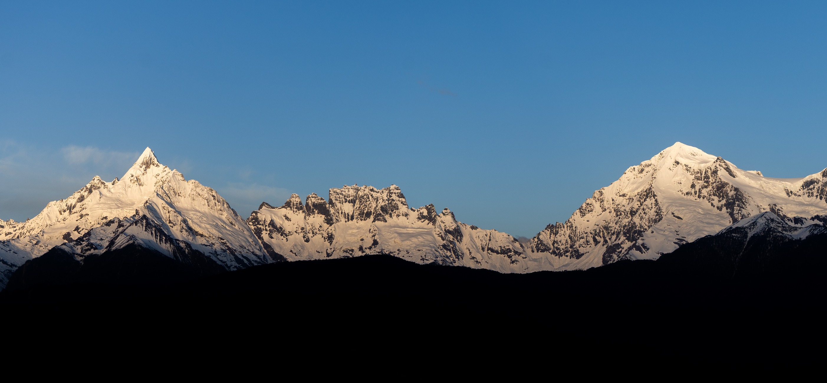
Ridge form and glacial terrain
The Zayu county west-slope plan describes the southern mountain sector as having sharper relief than the broader northern extent, with well-developed glacial and high-mountain landforms throughout. China's national nomination for the Three Parallel Rivers World Heritage property identifies steep slopes and extensive glaciers within the Taizi terrain. Mianzimu's sharp ridge is visible at the left of the southern profile when viewed from the east.
Yubeng's alpine karst is formed by glacial erosion, freeze–thaw weathering and dissolution of rock, as documented in the official Yunnan Forestry agency account of the valley.
Yubeng wetland and the Lancang headwaters
At Yubeng in Deqin, a 55.13-hectare provincial wetland serves as the headwater of the Yubenglong River, a direct tributary of the Lancang (upper Mekong). Recognised by Yunnan Province in 2018, the wetland contains forested and herbaceous subalpine marshes connected by lakes, streams and waterfalls.
The Baima–Meili cluster appears among the areas of the Three Parallel Rivers of Yunnan Protected Areas, listed as a UNESCO World Heritage property in 2003.
Naming and documentary scope
China's original World Heritage nomination separates a northern high-mountain section labelled Meili Snowberg from the Taizi Snowberg west of Deqin, placing both Kawagebo and Miancimu (Mianzimu) in the Taizi entry. Zayu's more recent county plan uses Meili Snow Mountains and Taizi Snow Mountains for a broader section of the Nu Mountains in the Hengduan system.
A Kyoto University photography exhibition records Mianzimu — also known as Metsumo — as the peak locally described as Kawagebo's consort, an attributed traditional relationship between the two named summits.
Sacred landscape around Yubeng
John Studley's field study places the Yubeng valley within the inner kora, the ritual circumambulation route, of the wider Khawa Karpo sacred landscape. Other researchers conducted dedicated surveys of sacred sites across the broader Deqin Khawa Karpo region in 2000–2004 and again in 2015–2017, documenting 95 sacred mountains across that study area and recording influences ranging from individual families to communities and wider regions.
The 10 May 2025 east-side panorama from Feilai Temple shows the southern ridgeline with Mianzimu's sharp profile at the left and snow extending across the slopes to the right.