
North Face Attempts and First Ascent
In 1986 a Spanish team climbing the north face retreated approximately 200 metres below the summit. That high point stood for nearly two decades until 15 August 2004, when Americans Doug Chabot and Steve Swenson reached the summit snow dome during a Mazeno Ridge traverse and continued onward to the junction with the Schell Route on Nanga Parbat.
2012 Full Ridge Traverse
In 2012 Sandy Allan and Rick Allen crossed Mazeno Peak as part of a complete Mazeno Ridge traverse, reaching the main summit of Nanga Parbat. Their route passed through the peak's snow dome and adjacent minor high points along the sustained arête connecting the ridge apex to Nanga Parbat's upper mountain.
Ridge Geography and Summit Terrain
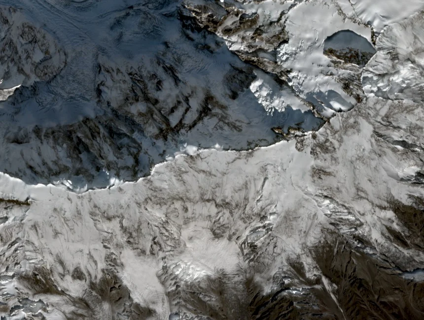
The Mazeno Ridge forms the southwestern rampart of the Nanga Parbat massif in Pakistan's western Himalaya. Mazeno Peak sits at the ridge apex, with the Mazeno Gap and Mazeno Pass as separate features of the same system. Expedition accounts describe careful route-finding among adjacent minor high points to confirm the true summit snow dome.