
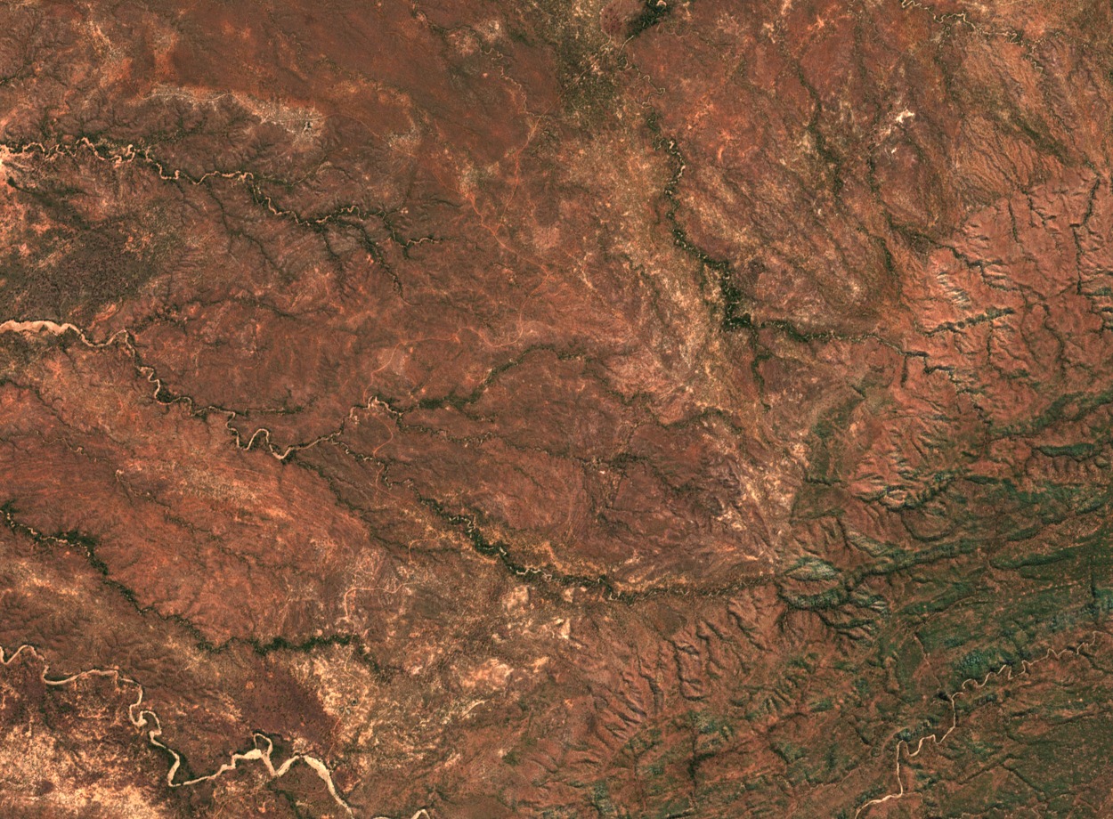
Escarpment Woodland and Kariba Shoreline
Woodland covers much of the escarpment slope, and partially submerged trees persist along the Lake Kariba shoreline, remnants of the valley vegetation that stood before the Zambezi was impounded by Kariba Dam. The reservoir, completed in 1959, defined the park's northern boundary and shaped the present shoreline character distinct from the hills above.
National Park Proclamation and African Parks Partnership
Zimbabwe proclaimed Matusadona National Park in 1975, establishing formal protection across the escarpment and adjoining lakeshore. In 2019 the Government of Zimbabwe and African Parks entered a partnership to co-manage the park, documented by both ZimParks and African Parks in subsequent annual and project reports.
Palaeontological Sites East of Tashinga
Fossil sites identified through fieldwork associated with the University of Birmingham lie near the shoreline east of Tashinga, within Karoo sedimentary strata that are geologically separate from the gneiss of the upper hills. This sedimentary record contributes to the broader palaeontological documentation of the mid-Zambezi basin.