
Forest Reserve Status and Gazette History
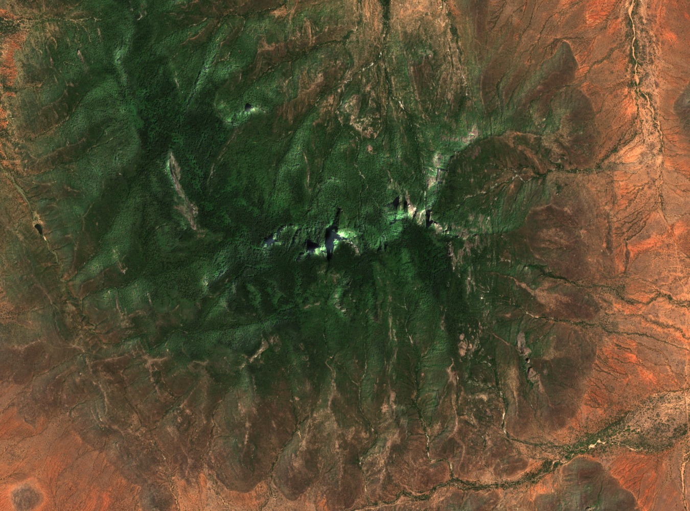
The Mathews Range forest was gazetted in 1956 and formally declared a Kenya Forest Reserve in 1964. The Kenya Forest Service ecological assessment of the range documents the reserve's boundaries and identifies the forest ecosystem as an isolated Afromontane block, significant in the regional context of northern Kenya's otherwise dry terrain.
Montane Forest and Catchment Above 1,400 Metres
The De Jong and Butynski field survey of August 2010 recorded Hartlaub's turaco (Turaco hartlaubi) within the forest and noted that catchment forest extends above 1,400 metres. The survey documented forest mammals and birdlife in the context of the range's dry lowland surroundings, without asserting taxonomic completeness or current population figures.
Meteorological Station Installed for Astronomy Assessment
The SASKYA report — Search for an Astronomical Site in Kenya — documents the installation of an automatic meteorological station on the Warges summit by spring 2014. The station was established to assess atmospheric and sky conditions as part of a site evaluation programme, with no observatory or telescope associated with that installation.