
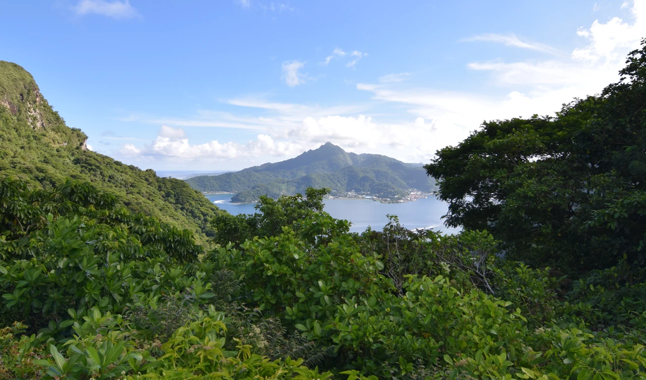
Volcanic origins and the harbor setting
USGS geology reports describe Tutuila as a deeply eroded volcanic island, with Pago Pago Harbor connected to the eroded Pago caldera. The Smithsonian Global Volcanism Program lists Matafao Dome as a subfeature associated with the peak. A public-domain photograph by D. Downs taken on 9 August 2023 shows the view west across the harbor toward the vegetated peak.
Position and neighboring landmarks
The USGS and BGN gazetteer places the named summit at 14°17′59″S, 170°42′09″W. NOAA's Coast Pilot distinguishes Matafao Peak from Rainmaker Mountain — also known as Pioa — situated on the east side of Pago Pago Harbor; the two are separately named features.
Scale and designation
USGS records Matafao Peak's elevation as 653 m (2,142 ft), the highest point on Tutuila. The National Park Service designated it a National Natural Landmark in 1972; the landmark boundary lies outside the national park.