
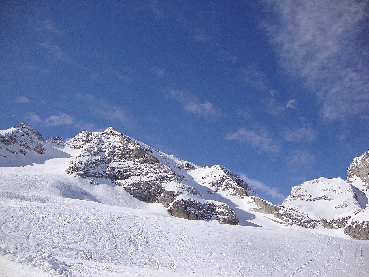
Basin, Ridge, and Summit
The glacial basin between Punta Rocca and the higher Punta Penìa shapes the northeastern approach to Marmolada's highest summit. The Ladin name Schena de mul, documented by the Ladin cultural institute, designates the snowy ridge associated with the Marmolada glacier. Pian de fiacchi is a separate named terrain in the same area. Meteotrentino identifies this northeastern alignment as the normal approach to Punta Penìa.
The 1864 First Ascent
In July 1864 Paul Grohmann surveyed the glacier with Orsolina of Auronzo and recognized a potential route between the two summits. On 27 September, Angelo Dimai spotted a hollow from Forcella di Padon that opened the way. On 28 September Grohmann and guides Angelo and Fulgenzio Dimai left Passo Fedaia, climbing a crevassed slope of snow and ice that opened onto a broad upper ridge and the summit of Punta Penìa.
Glacier Change and the Historical Record
Marmolada's glacier surfaces at different periods have been reconstructed using historical maps alongside lidar and terrestrial laser scanning in a 2025 study. The work treats the Main Glacier and the Punta Penìa Glacier on the northern side as distinct units, each with its own retreat history. The resulting picture of fragmenting ice helps explain why any dated photograph or early ascent account captures conditions different from those visible today.