
First Ascent and Summit Record
The first ascent of Mardi Himal took place on April 23, 1962, when J.O.M. Roberts reached the summit with Ang Tshering Sherpa (recorded as "Angcherring" in Roberts's own report) and Tenzing Nindra Sherpa. The team climbed a 2,000-foot frozen-snow couloir to gain a connecting ridge, then tackled a summit cone of hard ice. Roberts marked the top by tying striped pyjama trousers to a pole. No earlier ascent is documented with reliable records.
Elevation and Setting
Mardi Himal's elevation is recorded at 5,553 metres by Nepal's Department of Tourism and the Himalayan Database, with some maps citing 5,587 metres. The peak sits within the Annapurna Himal of the Gandaki region, southwest of Machhapuchhare, amid a cluster of significant high-altitude summits.
Trekking and Regional Access
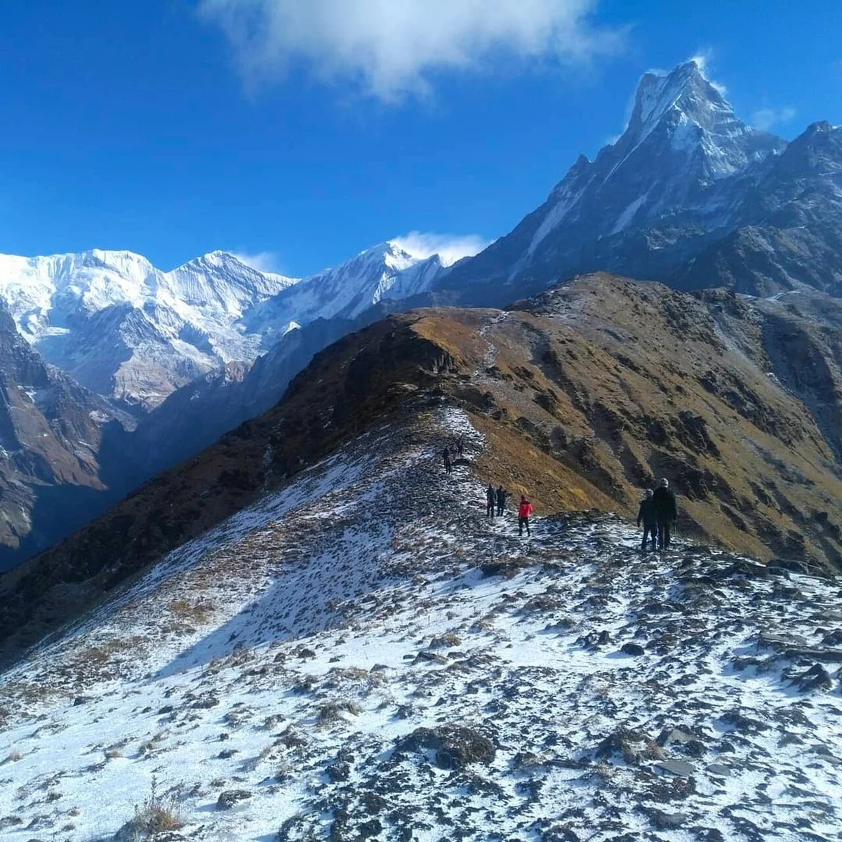
The Nepal Tourism Board's Pokhara destination materials describe Mardi Himal Base Camp trekking as offering views toward the foot of Machhapuchhare. Trekkers distinguish between the high camp and viewpoint areas and the technical summit. The Gandaki provincial office conducted trail maintenance work in 2021.