
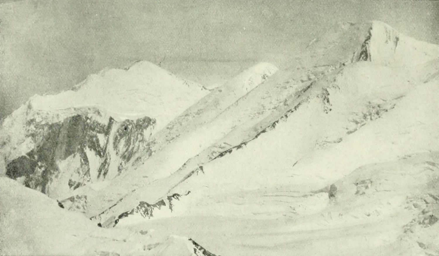
The Wall Above the Glacier
Merzbacher's expedition entered the Bayumkol valley expecting to reach Khan Tengri. The valley opened into a glaciated cirque beneath a ring of high peaks. The eastern glacier descended in three ice streams that joined below the cliff face, and the party named the prominent pale rock exposure Marmorwand — Marble Wall. The 1905 book spells the valley Bayumkol, and modern expedition sources use Bayankol for the same drainage. The photographic plate, issued facing page 28 of the 1905 book and photographed from the eastern Bayumkol Glacier, shows the wall rising steeply against the glaciated crest and links it to the name Peak Nicholas Mikhailovich. The image was digitized by the University of California Libraries and is held by the Internet Archive.
The cliff structure positions Marble Wall at a point where the ridge carries a sharp rock face on one aspect while the glaciated terrain falls away northwest toward the Bayankol valley, northeast toward the Ukur Glacier, and southwest toward the Northern Inylchek Glacier, as described in the first-person accounts of those who worked the approach.
Names, Summits, and the 1946 Ascent
Climbers in 1946 distinguished the crest above Marble Wall from a higher dome lying southeast beyond a saddle. That dome was named Geographical Society Centenary Peak, marking the 1845 foundation of the Russian Geographical Society. The 1946 party reached the crest via the north ridge on 28 August 1946, a seven-person team. Their diary records a vertical rock chimney climbed with tied ropes and, in the upper section, thin plates of readily crumbling pale yellow marbleized limestone. Storms held the party near the summit for several days and prevented their planned traverse toward the centenary peak. The expedition's summit instrument read 6,150 m.
The supplementary Kazakhstan–China border agreement records a 6,146 m map mark and gives 6,105 m for the corresponding mark on the Chinese map. The separate demarcation protocol names Geographical Society Centenary Peak and gives it its own spot height. Read alongside the 1905 plate and the 1946 expedition diary, these documents show how maps and expedition accounts attached names and heights to neighbouring points on the ridge.
A 2009 Expedition
A joint Indian–Kazakh Army expedition recorded a summit ascent dated 4 September 2009 in the Indian Army Directorate's published atlas. India's National Centre for Medium Range Weather Forecasting supplied altitude-specific forecasts to support the expedition as it worked on the mountain, an arrangement that brought operational weather science into the planning of a high-altitude ascent.