
From Marshes to Forested Escarpments
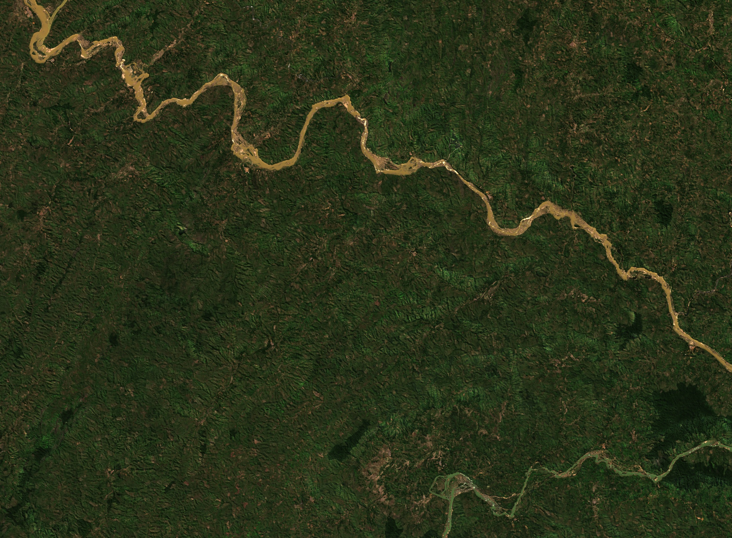
Tiaray Rajaona's 1990 field paper described the upper Mangoro around Moramanga as a broad, shallow trough with marshes and elevations of 900–950 m. Downstream, as the valley tightens toward Anosibe An'ala, that open plain gives way to steep escarpments and closely packed ridges. Sentinel-2 imagery captured on 25 July 2026 shows the Mangoro first descending from the upper left before bending southeast, the channel threading between forested ridges west of the Nosivolo confluence.
The landscape visible in that frame is a mosaic: wooded hillsides, narrow valley bottoms, and scattered bare or cultivated plots. The ridged terrain of the Mangoro–Nosivolo drainage is consistent with Rajaona's characterisation of the escarpment zone as humid and forested. Its slopes and narrow river corridor look markedly different from the marshy upstream plain.
Forest Surveys Along the Nosivolo
In May 2009, Philip-Sebastian Gehring and colleagues surveyed three surviving forest fragments in the Marolambo area near the Nosivolo: Tanin'ny Betsileo, Ambodisavoka, and a forest near Ambatolomakana. Their 2010 paper, published in Salamandra, describes field sites lying at roughly 400–800 m elevation and characterised by dense humid evergreen forest. The team looked for amphibians and reptiles in these patches of forest. Their descriptions show how intact canopy persisted in some patches amid cleared ground.
The Nosivolo River and its tributaries were listed as Ramsar site 1916 on 17 September 2010. The designation covers a stretch of approximately 130 km and records 19 fish species endemic to Madagascar, among them Oxylapia polli. The Nosivolo's confluence with the Mangoro marks the downstream edge of the designated wetland.
Protection for the Forest and the River
Marolambo National Park was established under Decree 2015-716 on 21 April 2015, incorporating sections of the Fandriana–Marolambo forest corridor. The park absorbed parts of three earlier protected areas: the Ampasinambo 2 reserve of 1947, the Fasintsara 2 reserve of 1950, and the Tsiazombazaha classified forest designated in 1967. The park protects part of the forest corridor, while the Ramsar designation follows the Nosivolo and its tributaries.
Madagascar National Parks documents 15 transects of 2 km used for monthly lemur monitoring beginning in 2015, alongside seven permanent plots of 0.5 hectares monitored on an annual basis. The walking routes help monitor lemurs, and the permanent plots let researchers compare the same pieces of forest from year to year.