
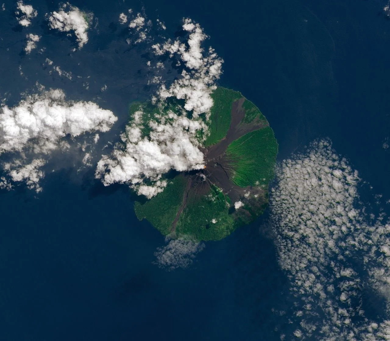
Landform and Structural Geography
The four radial valleys descend from an unvegetated summit across the volcano's flanks, and lava flows and pyroclastic avalanches traveling their lengths have on occasion reached the shoreline. Five small satellitic volcanic centers sit near the coast on the island's northern, southern, and western margins, distinct from the primary summit edifice above.
Summit Craters and Eruptive Pattern
Two craters occupy the summit, both of which have shown activity, though the southern crater has been the dominant source of historically observed eruptions. Eruptive products over much of the past century were concentrated into the valley running toward the southeast. Since 1616, eruptions have generally been mild to moderate in scale, with periodic larger events producing flows that reached flat coastal ground and entered the sea.
Documented Eruptive Activity
On 29 November 2004, NASA's Terra satellite captured an ash plume rising from Manam during a significant eruptive sequence. NASA reporting from that period documents thousands of residents being evacuated in connection with the activity, reflecting the proximity of inhabited coastal areas to the valleys that direct volcanic flows toward the shore.