
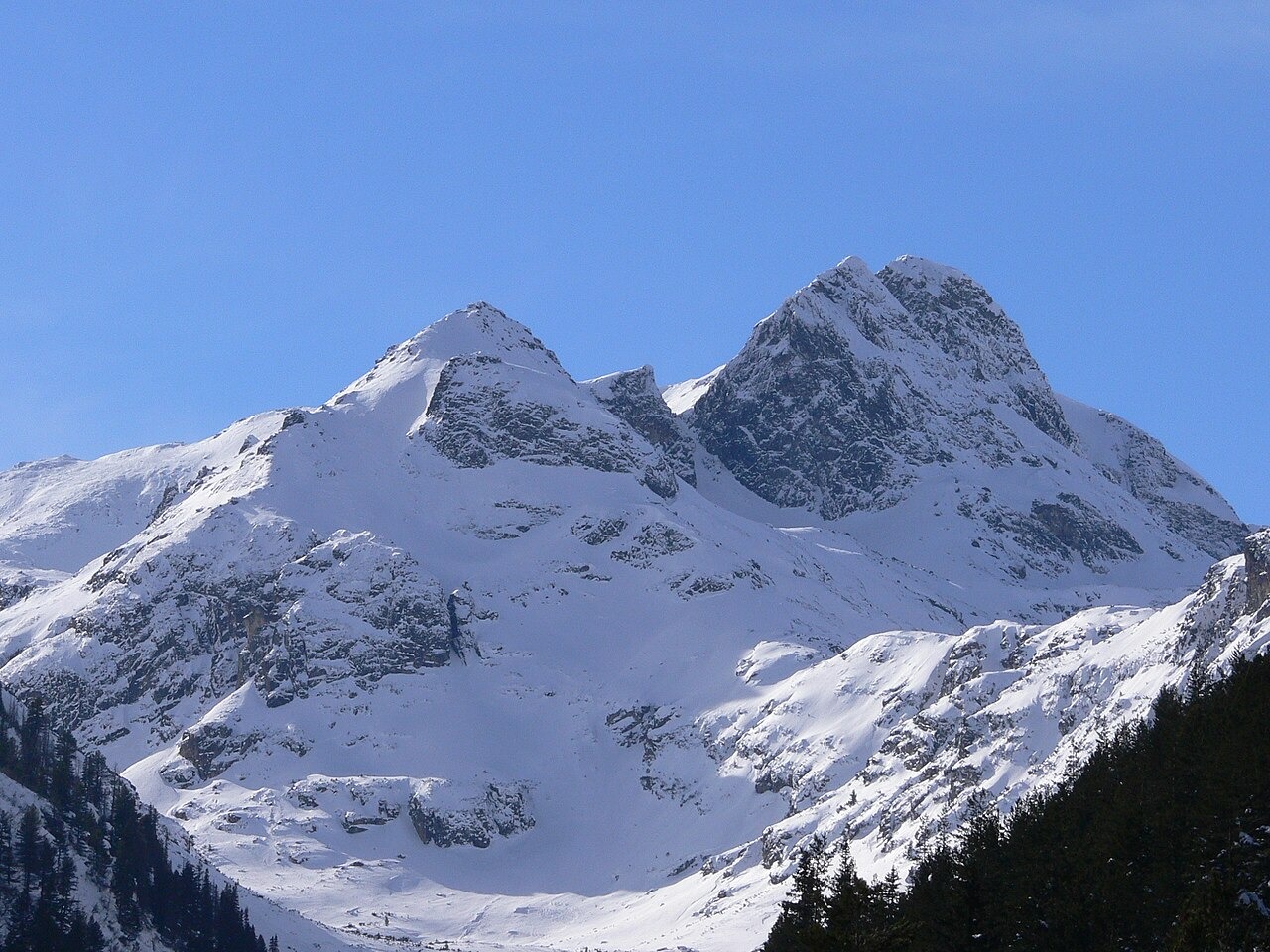
Glacial Landforms and Watershed Position
The glaciated valley below Malyovitsa, with its steep-sided bowl, is one of the features Rila National Park identifies as characteristic of the mountain. The ridge on which the summit stands forms part of a watershed that runs across a broader section of the Rila Mountains.
Climbing History
Konstantin Savadjiev and Georgi Stoimenov completed the first recorded ascent of the steep northeast face in August 1938, an early milestone in Bulgarian alpinism. The historical account refers to the face as the north face. The modern climbing inventory of Rila National Park describes it as the northeast face. Sandyu Beshev and Georgi Atanasov made the first recorded winter ascent of the face on 17 March 1957.
Botanical Records
A field study identified herbarium material of Geum bulgaricum collected in 1969 around the Malyovitsa lakes at approximately 2,400 metres. A 2015 record from the same study placed the plant in granite alpine grassland at 2,615 metres in the mountain area. The paper treats Geum bulgaricum as endemic to the Balkan peninsula and surveys its occurrences across the region.