
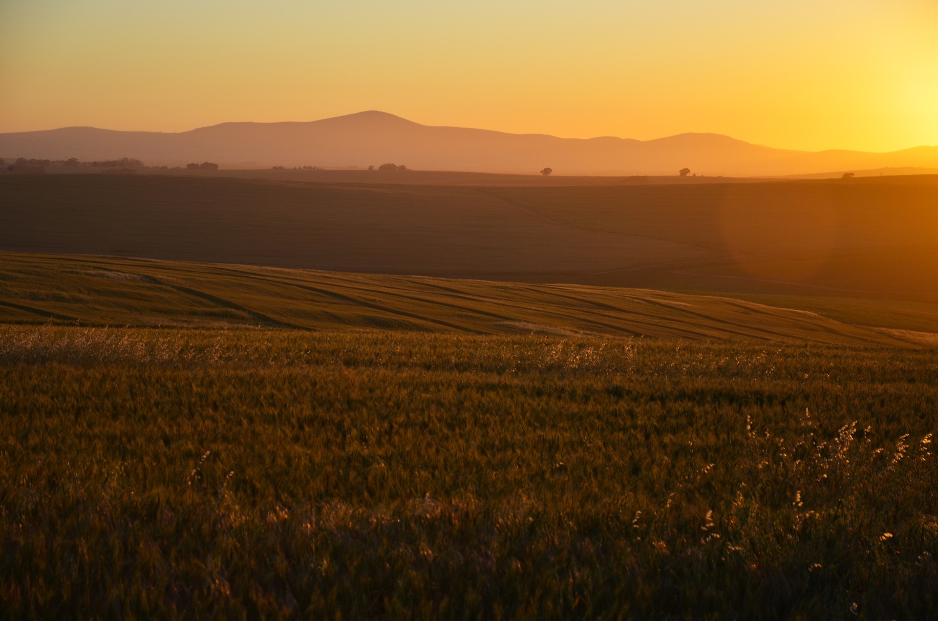
Geology and Landform
The hills are underlain by alternating fine-grained greywacke sandstone and shale belonging to the Malmesbury Group, a Precambrian sedimentary sequence mapped across the Cape region by the University of Cape Town's geological sciences department. Where the shale weathers, it breaks down to clay-rich soils that distinguish much of the Swartland lowland from the coarser substrates of surrounding uplands. Regional planning documents treat these rock types and related horizons as foundational to the character of the landscape. To the southeast, the Paardeberg stands apart from this low ridge country as an identifiable landmark singled out by the Swartland Municipality in its spatial planning maps.
Agricultural History
The South African National Biodiversity Institute records that the Swartland had been established as wheat country by the mid-eighteenth century, a development tied to the combination of fertile, clay-bearing soils derived from Malmesbury shale, the gentle topography of the hills, and the region's proximity to Cape Town. The town itself was renamed Malmesbury in 1829, according to Swartland Tourism, departing from an earlier name associated with its Dutch Reformed congregation. The Swartland Wine and Olive Route documents the centrality of wheat to the district's identity well into the modern era.
The Wheat Industry Museum in nearby Moorreesburg, opened in 1978 in a former mission church. Its collection of farm implements traces the mechanical and social history of grain cultivation across the Swartland, providing a material record that complements the landscape itself.
Remaining Renosterveld
Before large-scale wheat cultivation, the lower slopes and flats of the Swartland supported renosterveld, a shrubland vegetation type adapted to the region's clay-rich soils. The South African National Biodiversity Institute documents surviving patches around Malmesbury and on the lower slopes of the Paardeberg, with additional remnants along the Groen and Diep rivers. In its 2017 State of Biodiversity assessment, CapeNature tabulated approximately 6.3 percent of the original Swartland Shale Renosterveld vegetation unit as remaining within the Western Cape.