
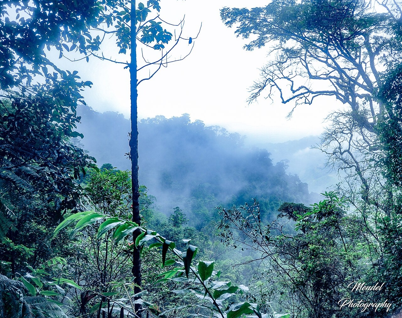
Ridges, Valleys and Soils
The protected-area catalogue describes a deeply varied landscape, with much of Makira lying between 750 and 1,250 m. Ferrallitic soils occur on much of the upland, while river deposits make up part of the lowland soils.
A Link between Forests
The Wildlife Conservation Society and the Madagascar Protected Areas and Biodiversity Foundation describe Makira as a connection between the humid forests to the east and subhumid forests to the north. The connection spans ridges and river valleys.
The 2012 Park Decree
A decree on 19 June 2012 set aside 372,470 hectares as Parc naturel de Makira and brought together several previously classified forests. Local associations help manage forest in a surrounding green belt.