
Seafloor rocks and river valleys
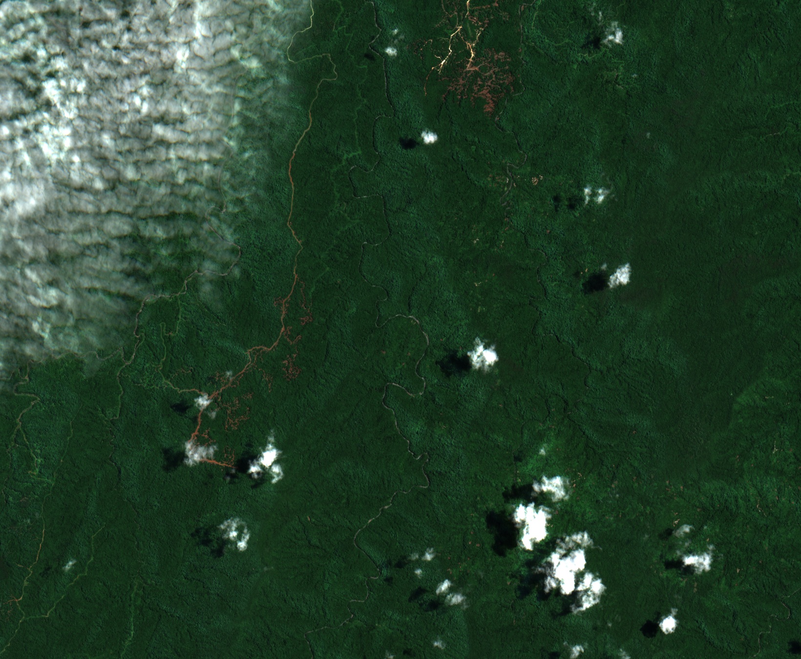
Field mapping published by Petterson and colleagues in 2003 identified layers of basalt, dolerite and marine sedimentary rocks, including limestone. These rocks formed in an ocean setting and now crop out in Makira’s interior. In 2020, Sarah J. Boulton analyzed the island’s relief and river slopes. The highest ground lies in the centre and west, while the divide that channels rivers toward the two coasts sits farther south.
Ants in the forest litter
In early 2008, Eli M. Sarnat, Evan Economo, and John Fasi surveyed ants from the coast at Kirakira to Maraone in the interior, reaching 912 m. They sifted forest litter along sampling lines and collected one catalogued specimen near Maraone at 911 m, in moss forest. The expedition added 67 ant records for Makira, published in 2013.
From coastal forest to mountain forest
In 2008 the Solomon Islands submitted a group of rainforest sites to UNESCO's World Heritage Tentative List. Among them, the Bauro Highlands in Makira's interior were described as encompassing steep valleys in the Raro and Warihito river catchments and an elevation gradient reaching from coastal lowland through to montane forest. The proposal noted local conservation work with the Makira Community Conservation Foundation.