
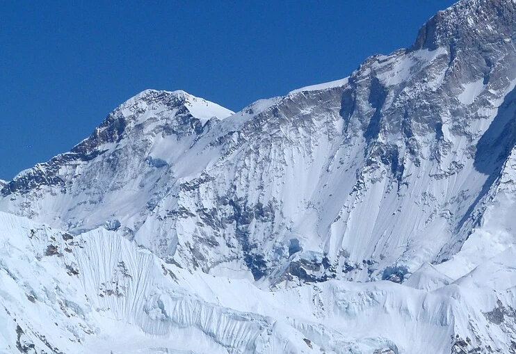
Summit and Position
The Nepal Department of Tourism records Kangchungtse's coordinates as 27°54′56″ N, 87°04′50″ E at 7678 m, though earlier editions of the same department's publications show marginally different seconds. The Himalayan Database lists alternate survey values of 7640 m and 7660 m, figures that reflect differing map editions rather than separate peaks. The Makalu La forms the col that physically separates Kangchungtse from the main Makalu massif to its south-southeast, establishing the two as distinct summits despite their shared massif name.
First Ascent
On 22 October 1954, Jean Franco, Lionel Terray, Gyaltsen Norbu, and Pa Norbu completed the first documented ascent of Kangchungtse via the Makalu La and the mountain's south face and upper ridge. The expedition was French in origin, a point corroborated by Franco's firsthand account and a contemporary report in the Alpine Journal. The Nepal Tourism Board's account omits Terray from the summit party, but the Alpine Journal and Franco's own record confirm his presence. The main Makalu summit received its first ascent the following year, in 1955, as a separate event and a separate objective.
West Face
In September 1989, Victor Saunders and Stephen Sustad climbed the west face of Kangchungtse, as Saunders describes in a first-person account published in the Alpine Journal. Their route crossed snowfields and negotiated ice gullies and summit cliffs before reaching the South Summit, a shoulder at roughly 7600 m on the Schneider map. A snowstorm during descent forced the pair back to the Makalu La. Their account provides direct topographic description of the west face and distinguishes it clearly from the original south-side route established by the 1954 French team.