
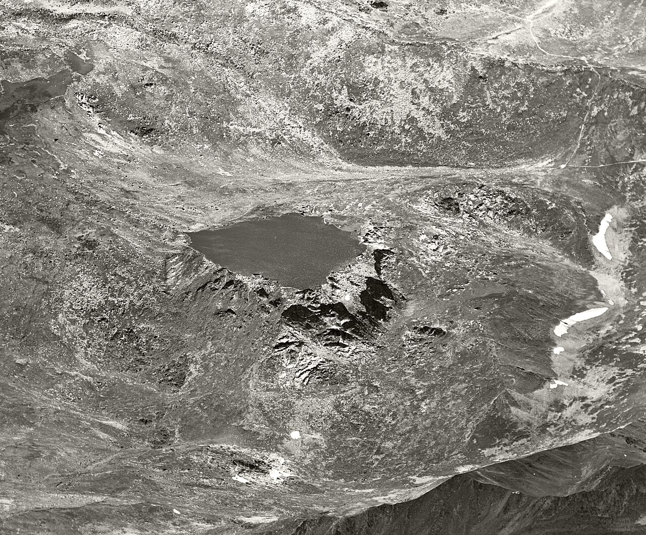
Where ice carved rock
At Blue Lake, a glacier gouged a steep-sided bowl known as a cirque into the granite. Timothy Barrows and his colleagues used the exposure of boulders left by the ice to date one advance to about 19,000 years ago. Winter snow still gathers deeply in sheltered places, and some patches last into summer.
Summer gatherings in the high country
Aboriginal communities travelled into the high country in summer, when migrating bogong moths gathered in the rock crevices. The moths provided food at gatherings where people from different language groups shared ceremonies, traded and renewed relationships. Monero Ngarigo and other Aboriginal peoples maintain connections to this alpine country.
Blue Lake from the air
In 1937 an Adastra survey plane photographed the curve of Blue Lake beneath its rocky rim. The lake and neighbouring Hedley Tarn became a Ramsar wetland of international importance on 17 March 1996. The protected site also takes in alpine habitat around the lakes, including the rockfields that shelter the mountain pygmy-possum.