
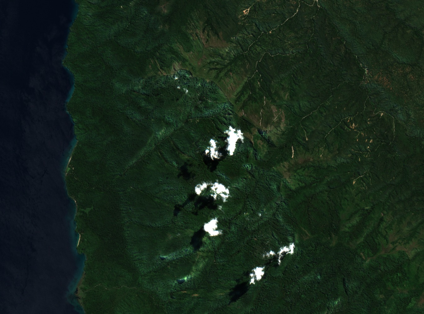
Granite Peaks and Lake Tanganyika Shoreline
The park spans a compressed vertical range, from the lake's edge to high-altitude granite outcrops in a short horizontal distance. Lake Tanganyika borders the western boundary, and the forest cover changes character with elevation, shifting from lakeshore woodland to denser montane growth on the upper slopes of the Mahale range.
Chimpanzee Behavioral Research Since 1965
Toshisada Nishida began field observations at Mahale in 1965, initiating what became one of the longest-running records of wild chimpanzee behavior in Africa. Kyoto University's primate research program documented that work in a published chronology, and findings from the site have appeared in journals including Primates. The forest setting enabled long-term observation of social behavior across multiple chimpanzee generations.
Park Establishment and Ecosystem Scope
Tanzania National Parks formally gazetted Mahale Mountains as a national park in 1985, according to the TANAPA GIS unit's published records. The designation covers both the mountain ecosystem and the adjacent lakeshore, an arrangement that reflects the ecological relationship between the forest interior and the Tanganyika shoreline that defines the park's western edge.