
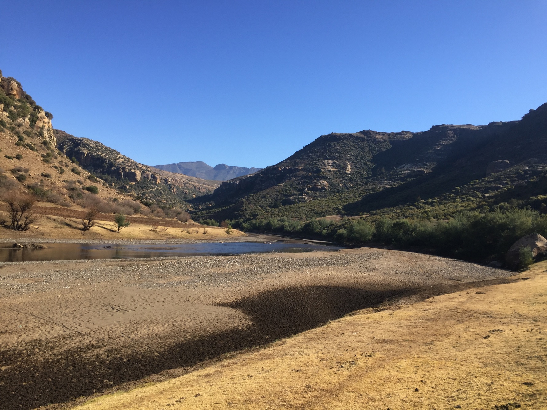
Where the Waterfalls Drop from the Plateau
Geological fieldwork recorded in a 1984 UNDP report, summarising Noel's 1980 observations on sheet 8D, identified a distinct plateau surface between approximately 1,950 and 2,250 metres that explains the consistent elevation at which major waterfalls cluster across the sheet, including Ribaneng, Qoasing, and Ketane. Within the Ribaneng valley, the same fieldwork documented a partly obscured ancient volcanic vent where ash-rich material has accumulated in layers sloping into the crater from both sides, at angles of approximately 30 degrees on one side and 10 degrees on the other. Sandstone lenses two to three metres thick were also found within and between early lava flows above the Clarens Formation contact in the same valley, providing stratigraphic evidence that helped distinguish sedimentary intervals from successive episodes of lava emplacement.
Graham Maclachlan’s photograph from July 2016 shows dark cliffs rising above a wide gravel river channel near Ribaneng. Lines of exposed rock interrupt the vegetation on the surrounding hillsides.
A Road Proposal Through the Ribaneng Valley
The Ribaneng Valley's role as a corridor through the foothills drew the attention of planners as early as 1967, when the Lesotho government sought British funding a proposed southern road from Mohale's Hoek through Mafeteng and up the Ribaneng Valley toward Semonkong. Funding for survey and construction was planned for the 1968–69 financial year. Work stalled south of the Ribaneng Valley. A separate northern route via Ramabanta already existed at the time as a rough track and was evaluated as an alternative corridor. D. Hirschmann's 1975 case study, produced through the University of the Witwatersrand, examined how the hill terrain and limited valley access shaped these competing planning proposals, with the northern and southern approaches considered as separate options.
Erosion and River Crossings
Studies drawing on data from the Lesotho Bureau of Statistics and associated researchers have documented the susceptibility of soils in the Mafeteng lowlands and foothills to both wind and water erosion. In February 2025, the Lesotho News Agency reported that residents of the Ribaneng and Ha Lebona communities were calling for repairs to the bridge across the Makhaleng River that serves those communities.