
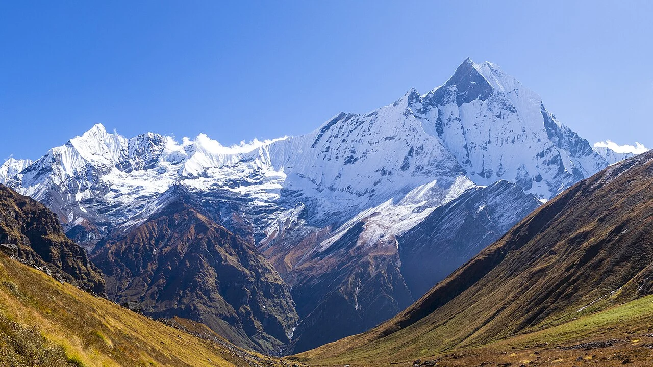
The Peak and Its Setting
Machhapuchhare reaches 6,993 metres according to the Himalayan Database and the High Asia catalog. The Nepal Tourism Board identifies it as prominent above Pokhara to the south. The Himalayan Club notes the twin summits take on a fishtail profile from certain vantage points, not from all angles. Annapurna I, the range's highest summit, is a separate peak.
The 1957 Expedition
On 2 June 1957, Wilfrid Noyce and David Cox, members of an expedition led by J.O.M. Roberts, reached a point approximately 150 feet below the summit crest. C. G. Wylie's account records worsening snow and hard ice as conditions at the turnaround. Sherpa Tashi devised and helped construct a roughly 20-foot tunnel through the Knife-Edge to assist the party's descent.
Summit Record
In 1956, J. O. M. Roberts led a reconnaissance through the upper Modi Khola gorge and into the basin below Machhapuchhare, terrain already used by local herders for seasonal grazing. Before the 1957 attempt, Ang Nyima built a bridge at the foot of the planned route, as C. G. Wylie recounts. The Himalayan Database lists no confirmed ascent. The peak's twin-summit form, seen above Pokhara and identifiable as a fishtail profile from certain directions per the Himalayan Club, is its most distinctive geographic feature.