
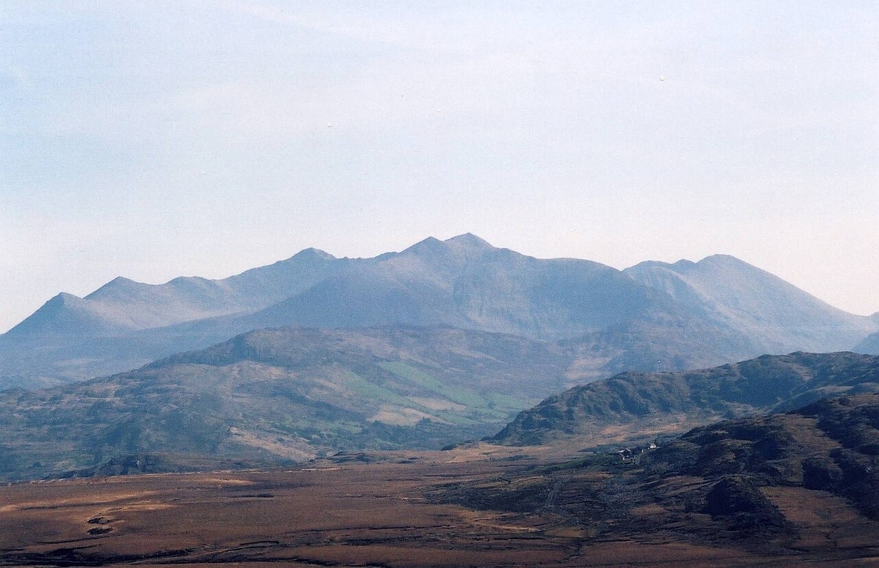
Landform and Geological Character
The Reeks are built from sandstone ridges shaped during the Quaternary period by glacial erosion, which cut the valleys between the ridges and exposed the rocky faces and cliffs visible across the range today. Carrauntoohil, the highest point at 1,039 metres, is linked along the main ridge with neighbouring peaks including Beenkeragh and Caher.
Upland Ecology and Conservation
At the summit level, exposed rock supports localised relict populations of Arctic-alpine plants, species that established during colder climatic periods and persist on rocky cliff terrain. Below the upper ridges, the slopes carry wet heath, dry heath, and blanket bog, habitats protected as part of the Killarney, MacGillycuddy's Reeks and Caragh River Catchment Special Area of Conservation.
Mountain Access and Land Stewardship
In 2014, the MacGillycuddy Reeks Mountain Access Forum was established to bring together landowners and walkers with interests in the range. Mountaineering Ireland has documented path works and training programmes aimed at reducing erosion on heavily used routes. An agri-environment programme targeting invasive rhododendron has also been active within the landscape, addressing a species that competes with native upland vegetation.