
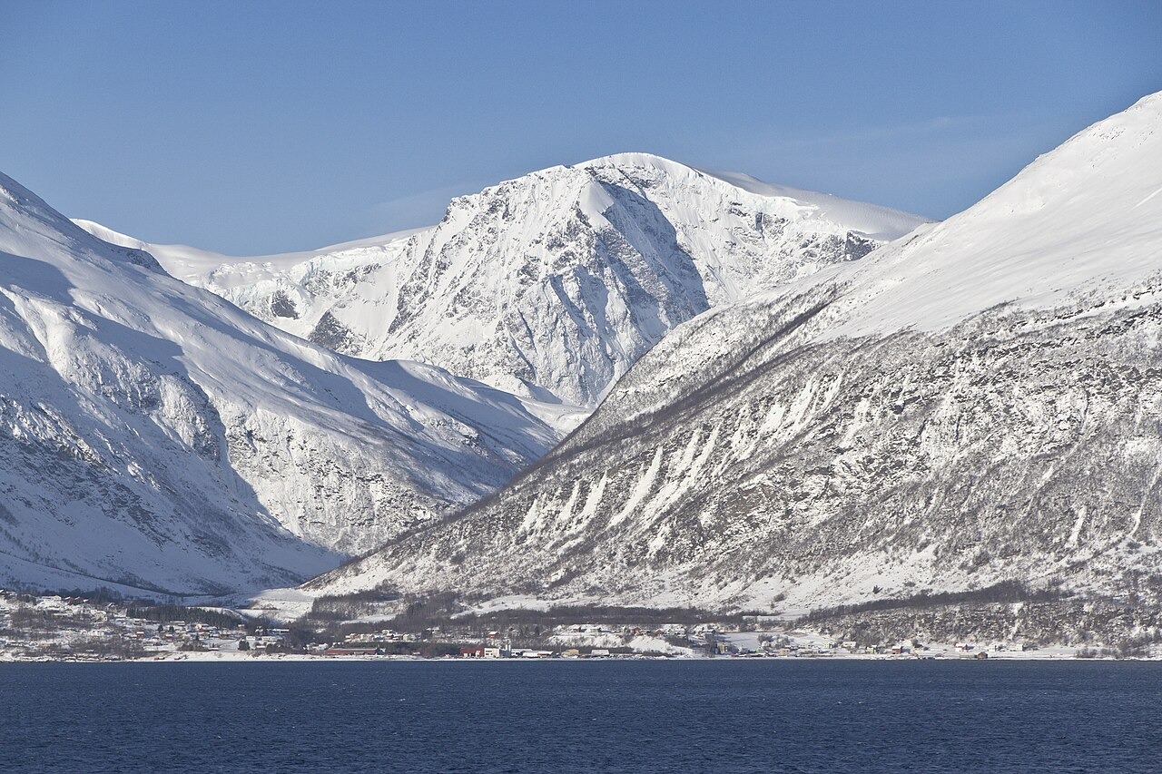
Summit and Glaciers
Jiehkkevárri is the highest point in the range at 1,834 metres, its recorded elevation measured on ice, and its Northern Sami name translates as glacier mountain. The 2018 management plan names glaciers in the range, including Gamvikblåisen and Strupenbreen in the outer range and the Fornesbreen and Jiehkkevárri glacier complex farther inland. The east face of Jiehkkevárri rises steeply above Lyngenfjorden, visible from the water across the fjord, and Kjosen, a transverse fjord arm, cuts into the peninsula from the west.
Climbing History
Elizabeth Aubrey Le Blond climbed in the Lyngen Alps in 1898 and published those ascents in her 1908 book Mountaineering in the Land of the Midnight Sun, as documented by the Tromsø municipal library. Store norske leksikon dates the first ascent of Jiehkkevárri to 1899.
Protected Landscape
The landscape protection area named Lyngsalpan / Ittugáissáid suodjemeahcci was formally designated by royal resolution on 20 February 2004, covering a defined portion of the peninsula and protecting glacial formations, moraines, and places of cultural significance. The 2018 management plan addresses these conservation subjects across the protected area.