
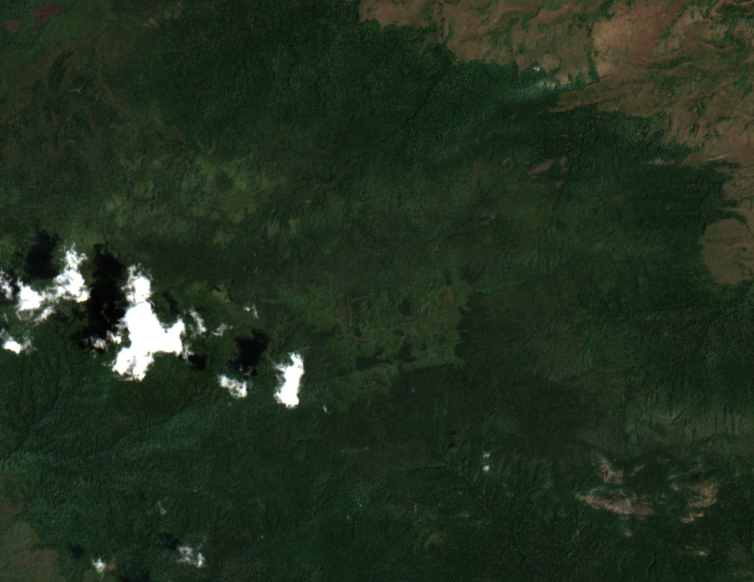
A Continuous Forest Block of 161 Square Kilometres
A 2022 study published in Frontiers in Ecology and Evolution mapped a continuous Afromontane forest patch of approximately 161 square kilometres that encompasses Luhombero. Repeated bird counts across seasons on the western portion of this block documented variation in understory and midstory composition, providing a baseline for tracking change within the forest interior over time.
Luhombero and Mwanihana as Distinct Survey Destinations
A field trail and campsite report by the Eastern Arc Mountains Conservation Endowment Fund records Luhombero and Mwanihana as separate survey destinations within the Udzungwa range. The survey inventoried vegetation belts at each site and noted locally endemic bird species. Udzungwa forest partridge records linked to this survey are associated with Ndundulu forest, a distinct block within the broader range.
Key Biodiversity Area Designation and Elevation Record
The Udzungwa Mountains site carries a Key Biodiversity Area designation, catalogued under KBA factsheet 22510. Within that designation, Luhombero holds the range's highest recorded elevation at 2,576 m, a figure consistent across the Tanzania National Bureau of Statistics 2020 national reference and the KBA programme's own factsheet data.