
A Basin Between Savanna and Forest
The northern park terrain is characterised by a relatively flat, low-lying depression crossed by the Ogooué, rising into the sandy savanna hills and rocky outcrops that mark the Okanda upland to the west. Rainfall records from the Lopé station, covering the period 1984 to 2004, give an average annual precipitation of approximately 1,502 mm, about half the annual rainfall reported for Libreville in the nomination document.
Research published in 2003 by Bernard Peyrot, Richard Oslisly, and colleagues in L'Anthropologie drew on sediment cores, radiocarbon-dated archaeological layers, and stable carbon isotopes to build a case that savanna cover likely persisted across this area through parts of the late Pleistocene and Holocene. The different lines of evidence help trace how long open grassland has existed around Lopé.
Rock Engravings of the Ogooué Corridor
In 1987, Richard Oslisly recorded engravings at Elarmékora. It was the first site of its kind recorded by archaeologists in Gabon. Subsequent surveys, particularly along the river corridor in 1989, identified further engraving sites, including Kongo Boumba within the reserve. Motifs observed during these surveys include concentric circles and lizard-like forms. The age of the engravings remains uncertain.
UNESCO inscribed Lopé–Okanda as a mixed cultural and natural World Heritage property in 2007. The heritage documentation associated with the inscription records approximately 1,800 petroglyphs across the heritage landscape.
Forest Advance and Savanna Management
A comparison of vegetation plots surveyed in 1993 and again in 2013, reported by Aida Cuni-Sanchez and colleagues in a 2016 PLOS One study, found that young woodland plots went from an average of 43 to 100 tonnes of above-ground tree biomass per hectare. Savanna plots showed no tree with a trunk thicker than 10 cm in either census year, underscoring the sharpness of the boundary between the two vegetation types.
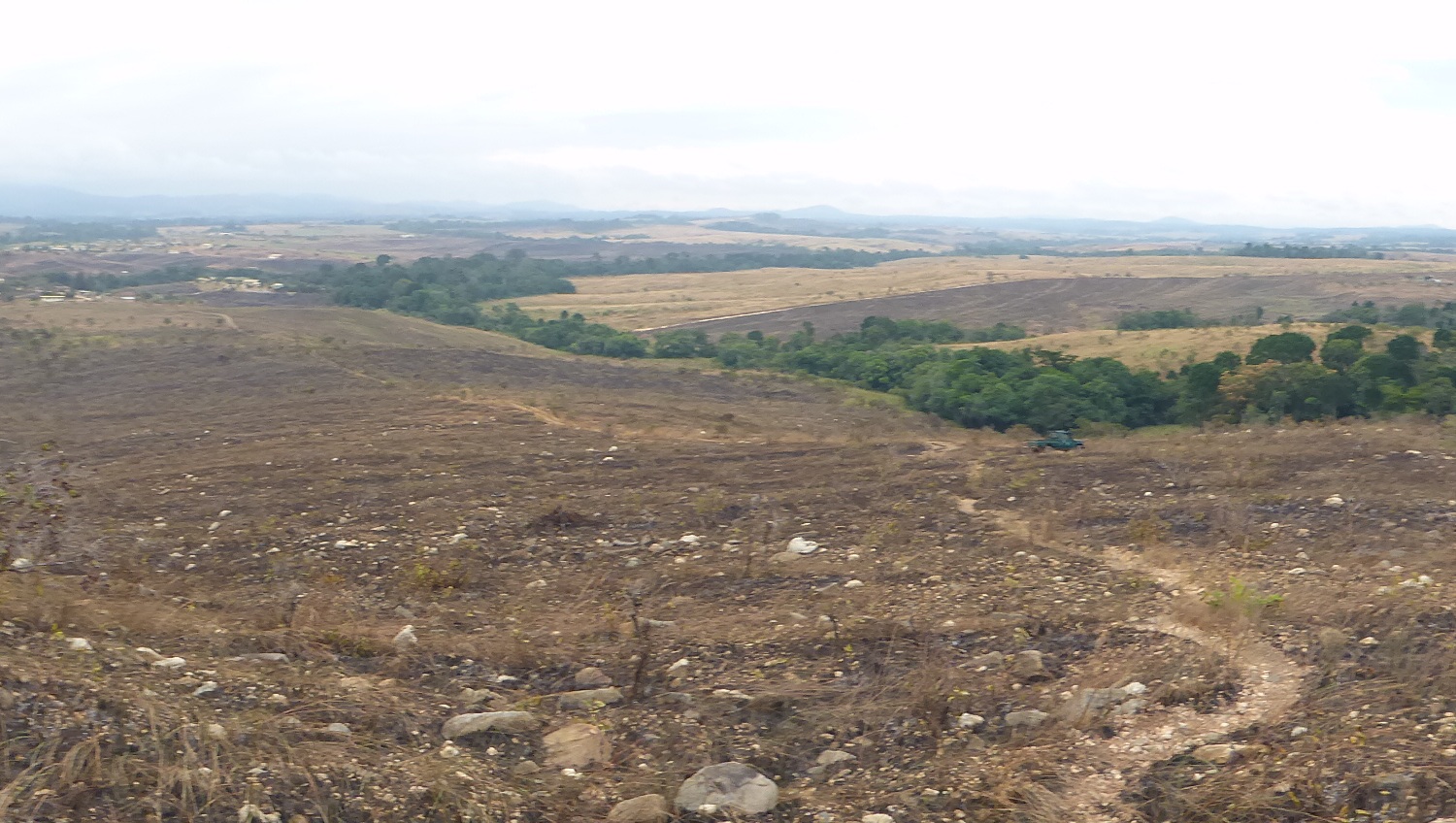
A fire management plan introduced in 1993 has been used to maintain savanna communities in the northern park. A photograph taken on 18 August 2014, shortly after the annual burn, shows remnant green forest patches persisting among the scorched savanna hills.