
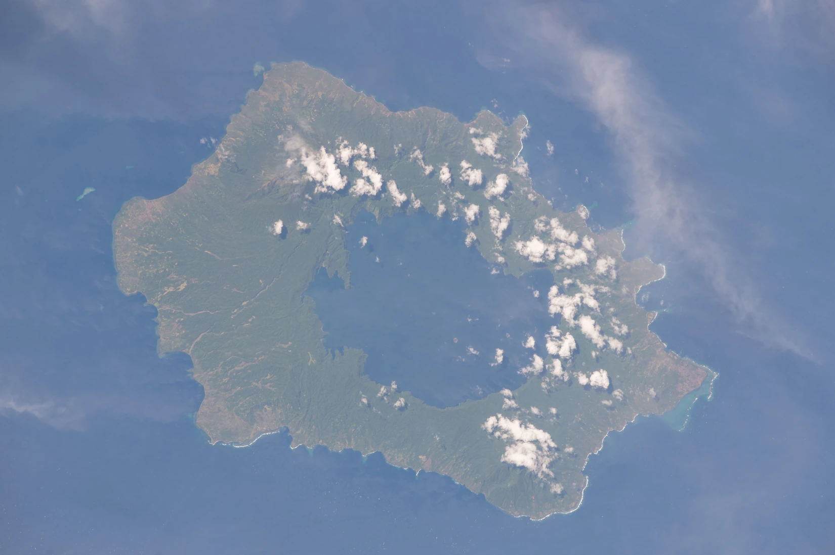
A lake in a volcanic collapse basin
The Smithsonian’s Global Volcanism Program describes a caldera about 10 by 12.5 kilometres across. It formed through collapses associated with at least three major explosive eruptions, roughly 16,000 and 4,000 years ago and in the seventeenth century. Fresh water now fills the depression.
Ash and the time of darkness
The seventeenth-century eruption spread a layer of volcanic ash, known as the Tibito tephra, across much of the New Guinea Highlands. Communities preserved accounts of ashfall and darkness in oral histories known as taim tudak. Russell Blong brought those records together with evidence from ash deposits in a 1982 study.
The clue in the Greenland ice
A 2020 study suggested the eruption might have occurred in 1665–1668. In 2025, Imogen Gabriel and colleagues examined microscopic glass shards associated with a 1667 sulfate peak in Greenland ice. The glass chemistry matched the eruption of Tarumae in Hokkaido, Japan. The team proposed two candidate dates for the Long Island eruption, 1654 ±1 year and 1662 ±1 year, and tentatively favoured the later date based on existing radiocarbon evidence.
A lake that turned orange-brown
Eruptions in 1973–1975 built small cones around Motmot Island, inside Lake Wisdom. The source of a later eruption lay beneath the lake, away from Motmot. During a flight on 9 November 1993, the Rabaul Volcano Observatory found that almost the entire lake had changed from blue-green to orange-brown.