
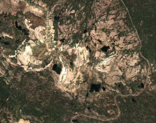
Basins cut or dammed by ice
The high country is underlain by ancient quartzite, sandstone and shale of the Uinta Mountain Group. A Utah Geological Survey map traced glaciers from the late Pleistocene through more western Uinta valleys than earlier investigations had recognized. In 1955 geologist Daniel J. Jones described nearby Picturesque Lake in a hollow scoured into bedrock. Scout Lake, by comparison, formed behind a small ridge of debris deposited by ice at its southwest edge.
A camp beside Scout Lake
The history of Camp Steiner begins with a Salt Lake City Scout troop choosing Heart Lake, later called Scout Lake, for a summer outing. The U.S. Forest Service and Great Salt Lake Council began discussing development at the camp in 1934. Jones’s state survey bulletin introduced Scouts to the rocks, lakes and traces of glaciers they could find nearby.
Weather at the summit ridge
Near the crest of Lofty Peak, a weather station records wind above the forest. Its published station elevation is about 3,410 metres (11,186 feet). In a March 2025 bulletin the Utah Avalanche Center used a day of readings there to chart changing wind direction, speed and duration on the northern side of the Uintas and around Mirror Lake. Ridge readings help explain how differently wind behaves above the sheltered lakes.